
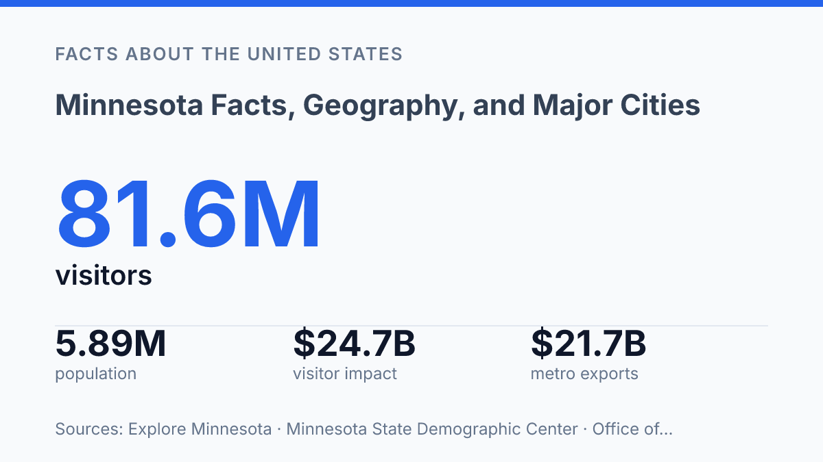
Minnesota covers 86,943 square miles, but its defining feature is how much of that space is shaped by water, borders, and concentrated urban growth. State figures list 4,780 square miles of inland water, another 2,546 square miles of Lake Superior under state jurisdiction, and boundaries that connect the state to two Canadian provinces and five U.S. states. Its 2025 estimated population of 5,891,109 is unevenly distributed, with Minneapolis and St. Paul anchoring the largest metro economy while Rochester, Duluth, St. Cloud, Mankato, and Moorhead give other regions distinct roles.
That mix explains why a basic fact sheet about the North Star State quickly becomes a study of geography, trade, public institutions, climate, and identity. The details below place its cities, industries, weather patterns, and symbols in a clearer statewide frame.
Where Minnesota sits and what it borders
Few U.S. states combine an international boundary, a Great Lakes shoreline, and the headwaters of the Mississippi River within the same outline. The state sits in the Upper Midwest, where the northern edge meets Canada and the eastern edge shifts from river country to Lake Superior. According to the Minnesota State Portal, in 2026 the state covers 86,943 square miles, including 4,780 square miles of inland water and 2,546 square miles of Lake Superior under state jurisdiction; its borders meet Manitoba and Ontario to the north, North Dakota and South Dakota to the west, Iowa to the south, Wisconsin to the east, and Lake Superior in the northeast.
That border pattern gives the state more than one geographic identity. Its western and southern edges connect it to the northern plains and Upper Midwest farm belt, while its northeastern shoreline links it to the Great Lakes system. The Lake Superior coast is especially significant because it gives the state a freshwater maritime edge rather than only an inland position.
Water also shapes the state from the interior outward. The Mississippi River begins at Lake Itasca in the north-central part of the state, turning a small headwaters site into one of the best-known geographic reference points in the country. From there, the river becomes a north-to-south organizing feature, helping explain why the state is often described through both lakes and major river systems.
The familiar lake identity is real but easy to oversimplify. The state is commonly associated with roughly 10,000 inland lakes, yet many are small and they are not evenly distributed across every region. Forested lake country, prairie farmland, river valleys, and the Lake Superior shoreline together give the state a broader geography than a simple lake count can capture.
Minnesota’s largest cities and regional centers
Nearly two-thirds of the state’s residents are concentrated in the Minneapolis-Saint Paul metropolitan area, giving the Twin Cities a scale no other urban center in the state approaches. The U.S. Census Bureau’s recent metro estimates place the Minneapolis-Saint Paul-Bloomington area at about 3.7 million residents, a population base large enough to support the state’s busiest airport, its largest employment clusters, and the main hub of its highway and transit network.
Minneapolis and Saint Paul function as paired but distinct urban cores. Minneapolis is the larger city, with 435,246 residents in the State Demographic Center’s 2025 estimates, and is closely associated with finance, corporate headquarters, arts institutions, and dense commercial districts.
Saint Paul, estimated at 313,112 residents, serves as the capital city and a major center for government, education, health care, and historic neighborhoods. Together, the Twin Cities anchor a metropolitan economy that extends well beyond their municipal boundaries into suburbs such as Bloomington, which ranked among the state’s largest cities in the same estimates.
Several smaller cities carry regional importance that exceeds their population size. Rochester, estimated at 124,953 residents in 2025, is the largest city outside the Twin Cities and is internationally associated with Mayo Clinic, making health care and medical research central to its identity.
Duluth, estimated at 88,294 residents, remains a major northern urban center with a port, tourism, higher education, and logistics roles. St. Cloud, estimated at 72,614 residents in 2024, serves central counties through education, health services, retail, and manufacturing links.
Export data show the same pattern of metro dominance balanced by regional specialization. According to the Office of the U.S. Trade Representative, the Minneapolis-Saint Paul-Bloomington area accounted for $21.7 billion in goods exports in 2024, while Duluth, Rochester, and St. Cloud each contributed measurable export activity. This distribution helps explain the state’s urban structure: one dominant metropolitan center organizes most statewide movement and employment, while regional cities provide specialized services that reduce dependence on the Twin Cities for every major function.
Economy, industry, and public institutions
Farm exports alone reached $8.3 billion in 2024, a figure that shows why the state’s economy cannot be understood only through its corporate headquarters and urban service industries. According to Office of the U.S. Trade Representative and USDA data, the state ranked fourth among U.S. agricultural exporting states that year, with soybeans, corn, and pork among its leading categories. That production supports grain handling, food processing, transportation, and rural employment, linking farm counties to manufacturers and global supply chains.
Corporate activity is concentrated heavily in the Twin Cities area, where Target, Best Buy, and 3M give the state a national business profile in retail, consumer electronics, materials science, and industrial products. These headquarters matter beyond office employment because they support legal, logistics, marketing, finance, technology, and real estate services. The same pattern extends into manufacturing, where food production, machinery, medical technology, and advanced materials connect regional plants with both domestic and export markets.
Health care is another major economic pillar, combining hospital systems, insurance, device production, clinical research, and specialized professional employment. Its importance is not limited to direct patient care: health-sector demand supports construction, information technology, training programs, laboratory services, and supplier networks. This helps explain why service-heavy metropolitan growth and rural production do not operate as separate economies; they are tied through labor, research, finance, and distribution.
The University of Minnesota is one of the state’s defining public institutions because it combines higher education, research, medical training, agricultural extension, and statewide public service. A 2025 University of Minnesota and Tripp Umbach impact study found that the university generated $11.5 billion in statewide economic impact in FY2024, supported more than 89,000 jobs, and produced $676 million in state tax revenue. Those figures indicate an institution that functions not only as a campus system, but also as a research engine, workforce pipeline, and partner for industries ranging from farming to health care.
Weather patterns, culture, and well-known symbols
A statewide average temperature of 50.26°F made fall 2024 the warmest autumn in 130 years of state records, according to the state DNR, a reminder that the state’s weather identity includes both severe winter and measurable seasonal variability. Winters are still a defining feature: cold air masses from the interior of North America bring long periods of freezing weather, and snow cover often persists for extended stretches. Northern areas generally have colder temperatures, longer winters, and deeper snowpack, while southern counties tend to have a slightly longer growing season and more frequent winter thaw-and-freeze cycles.
The state’s cultural identity is not limited to snow and cold. The common loon is one of its most recognized animal symbols, and the showy lady’s slipper is the state flower, linking official imagery to wetlands, forests, and northern habitats.
The new state flag and seal, which became official on May 11, 2024, emphasize the North Star, water, land, and the loon, according to the Secretary of State. The State Fair is another widely recognized identifier, known less as a single symbol than as an annual display of agriculture, food traditions, public institutions, and mass civic gathering.
Indigenous history provides a deeper cultural foundation than state symbols alone can convey. The homelands, treaty histories, and continuing communities of the Dakota and Ojibwe peoples remain central to understanding the state’s place names, political relationships, and cultural memory.
Later immigration also shaped regional foodways, religious institutions, labor traditions, and neighborhood life, adding Scandinavian, German, Hmong, Somali, Latino, and other influences to the state’s public culture. Taken together, climate is one of the most visible identifiers, but heritage, migration, and civic traditions explain why the state is understood through more than winter weather.
Why the North Star State’s map still matters
The state’s next chapter is likely to be shaped less by any single city or industry than by the relationship among water, climate, population patterns, and institutional reach. A warm autumn record in 2024, a redesigned flag and seal adopted the same year, and continued growth beyond the Twin Cities all point to a place where physical geography and civic identity remain closely linked.
For planners, businesses, students, and travelers, the practical consequence is clear: statewide context matters. Decisions about transportation, tourism, agriculture, exports, and education make more sense when the North Star State is viewed as a connected system rather than a metro area with rural surroundings.
Frequently Asked Questions
Q: What is Minnesota best known for geographically?
A: Minnesota is known for its large number of lakes, extensive forests, and part of the Upper Midwest terrain shaped by glaciers. The state’s northern climate and water-rich geography influence settlement, recreation, and agriculture across much of the region.
Q: Which cities are the largest in Minnesota?
A: The largest city is Minneapolis, followed by Saint Paul, which together form the Twin Cities metropolitan area. This region is the state’s main population and economic center, with most major institutions and transportation links concentrated there.
Q: How many lakes are in Minnesota?
A: Minnesota is commonly called the Land of 10,000 Lakes, a name that reflects the state’s many natural lakes. The nickname is descriptive rather than exact, but it captures how heavily water shapes the state’s geography and identity.
Q: What is the climate like in Minnesota?
A: Minnesota has a continental climate with cold winters and warm to hot summers. Seasonal variation is strong, which affects agriculture, transportation, and outdoor activity patterns across the year.
Q: Where is Minnesota located in the United States?
A: Minnesota is in the Upper Midwest, bordered by Canada to the north, Lake Superior to the northeast, Wisconsin to the east, Iowa to the south, and North and South Dakota to the west. This location gives the state a mix of prairie, forest, and lake-country regions.