
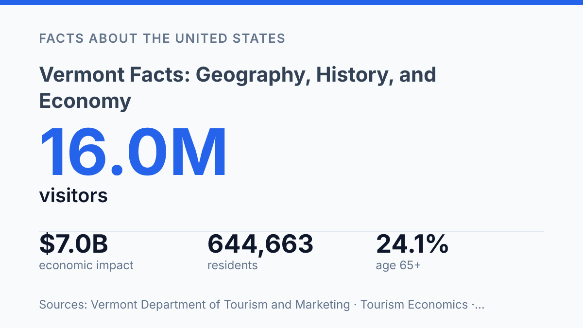
Vermont had 644,663 residents in 2025, a population only 0.2% above its 2020 base, yet its forests cover about 76% of sampled land and its tourism economy drew 16.0 million visitors in 2024. That contrast helps explain why the state is often easier to understand through scale than through size alone: a small land area, a rural settlement pattern, and a resource base that carries economic weight beyond population counts.
Its history is just as distinctive, shaped by a disputed path to statehood that ended only after New York and local leaders settled their claims in 1790. The facts that follow connect those pieces: demographic pressure, contested state formation, mountainous terrain, warming and wetter climate patterns, and an economy anchored by tourism, dairy, maple production, hydropower, and land stewardship.
State profile at a glance
With fewer than 650,000 residents, Vermont has the population of a mid-sized U.S. city spread across an entire New England state. The U.S. Census Bureau QuickFacts estimated 644,663 residents as of July 1, 2025, only 0.2% above the April 1, 2020 estimates base, while 24.1% of residents were age 65 or older. That combination points to a small, slow-growing, and comparatively older population, but size alone does not explain the state’s political profile, local civic culture, or recognizable regional identity.
Montpelier is the capital, a distinction that can surprise readers because Burlington is far larger and better known as the state’s main population and commercial center. This split between administrative capital and largest city is a useful shortcut for understanding the state’s scale: its seat of government is compact, while its largest city functions as the principal urban anchor for education, health care, retail, and transportation links.
Geographically, the state sits in northern New England between New York to the west and New Hampshire to the east, with Massachusetts along its southern edge and Quebec directly to the north. Lake Champlain forms much of the western reference point near New York, while the Connecticut River marks much of the boundary with New Hampshire. The Canadian border gives the state a cross-border orientation that is especially visible in travel, trade, and cultural ties with Quebec.
A few symbols reinforce public recognition without needing a long catalog. The nickname “Green Mountain State” reflects the mountain spine that shapes the state’s image, and the sugar maple is closely tied to both autumn scenery and maple production. These identifiers matter because they connect a small state to a widely recognized visual and agricultural identity.
How the state took shape
For fourteen years before joining the United States, the mountain settlements governed themselves as an unrecognized republic caught between disputed land titles and the Revolutionary War. The Vermont Republic period began in 1777, when local leaders declared independence from competing outside claims rather than accept control by another colonial authority. Its government functioned in practice, but its diplomatic status remained unsettled until the dispute was resolved shortly before admission to the Union.
The Green Mountain Boys gave that separate identity an armed and highly visible form. Led most famously by Ethan Allen, they began as a militia defending settlers whose land titles were challenged, and they later became part of the Revolutionary War story through the capture of Fort Ticonderoga in 1775. Their significance is not that they created a long-lasting independent nation, but that they turned a legal and territorial dispute into a durable political identity.
The 1777 Vermont Constitution made the new polity unusually early in several respects. It is widely cited for restricting slavery at a time when slavery remained legal in much of the new United States, though its age-based language means it should not be described as a modern abolition measure without qualification. It also adopted broad male suffrage without a property qualification, which placed it ahead of many contemporaries that tied voting rights to wealth or tax status.
Statehood followed only after the republic’s external dispute was settled. According to the state historical society, the long-running conflict was resolved in 1790, delegates ratified the U.S. Constitution in January 1791, and the state entered the Union on March 4, 1791, as the 14th state. That brief independent period is central to the state’s historical memory, but its legacy is mainly symbolic and institutional rather than evidence of a separate constitutional tradition that continued after admission.
Terrain, climate, and natural resources
Relief changes over short distances, so a trip that looks simple on a map can involve steep grades, shaded valleys, and weather that differs noticeably from one town to the next. The Green Mountains run north to south through the state, forming the main highland axis and separating many east-west travel routes into a pattern of passes, river valleys, and winding local roads. Mount Mansfield, the state’s highest point at 4,393 feet, illustrates the scale of the terrain: high enough to shape snowfall and forest zones, but still within the broader mountain pattern of northern New England rather than an isolated alpine extreme.
Lake Champlain gives the western side of the state a clear geographic marker and a moderating influence on nearby lowlands. Its broad water surface helps distinguish the Champlain Valley from the hillier interior, where colder pockets, higher elevations, and narrower valleys affect farming calendars and road maintenance. This contrast matters because some of the state’s most workable agricultural land lies in lower valleys, while upland areas are more closely tied to forest management, maple production, and recreation.
Forests are the dominant natural resource, covering 76% of sampled land area, or 4,492,236 acres, according to the USDA Forest Service. The maple, beech, and birch forest-type group accounts for 3,194,527 acres, which helps explain why hardwood stands support both commercial timber activity and seasonal maple sugaring. The same forest cover also shapes recreation through trails, hunting, skiing, and other land-based uses, making land stewardship an economic issue as well as an environmental one.
Winter conditions are a practical constraint as much as a seasonal feature. Snowfall is typically greater in mountain areas than in the lower valleys, and shaded rural roads can remain icy longer after storms.
NOAA/NCEI State Climate Summaries reported that temperatures have risen about 3°F since the beginning of the 20th century, while annual average precipitation has increased by nearly 6 inches since the 1960s, with the largest increases in mountainous regions. That pattern does not make the state uniquely extreme within New England, but it does sharpen existing terrain-related challenges for drainage, road repair, forestry operations, and access to dispersed rural communities.
Main industries and what drives the economy
A visitor economy worth $7.0 billion in total impact in 2024 is large enough that restaurants, ski areas, retailers, and local tax receipts rise and fall with travel demand. A state tourism office and Tourism Economics report counted 16.0 million visitors, $4.2 billion in visitor spending, 46,345 supported jobs, and $352.7 million in state and local taxes. That scale makes tourism one of the clearest examples of how a small state can generate income from scenery, recreation, food, and second-home travel rather than from large metropolitan concentrations.
Agriculture remains economically and culturally visible, but dairy and maple are only part of a broader mix. The USDA National Agricultural Statistics Service reported 6,300 farm operations covering 1.2 million acres in 2024, with milk production valued at $592.481 million and maple syrup production reaching 3.108 million gallons worth $95.416 million. Those figures show why dairy pricing, land costs, and seasonal sugaring conditions matter, while also showing that farming is not large enough by itself to explain the whole economy.
Branded food production extends the value of farm identity into national markets. Ben & Jerry’s in South Burlington and Cabot Creamery illustrate how dairy, local sourcing narratives, packaging, distribution, and tourism-facing brand recognition can add value beyond raw milk. This matters because branded producers can carry a small-state identity into grocery stores and food-service markets far from the farms that supply them.
Healthcare supplies a steadier employment base than tourism or seasonal agriculture. Hospitals, clinics, elder care, and outpatient services serve local demand year-round, and they are especially significant in rural areas where a medical center can be one of the largest employers. The Bureau of Labor Statistics reported a 2.4% seasonally adjusted unemployment rate for the state in November 2024, a low figure that points less to unlimited prosperity than to a tight labor market affecting hospitals, hotels, farms, and contractors alike.
Forestry completes the picture by linking working land to logging, sawmills, wood products, biomass heating, and land management. The economy is diversified for its size, but that diversification is exposed to rural workforce limits, housing constraints, weather-dependent travel, and shifts in visitor spending. The result is a small economy with multiple income streams, but few that are fully insulated from demographic and seasonal pressure.
What the next set of state facts may reveal
The next set of Vermont facts will be shaped less by a single industry than by how well slow population growth, aging communities, and environmental change are managed together. A state with low electricity-sector carbon dioxide emissions, heavy forest cover, and strong visitor demand has clear advantages, but those strengths also depend on roads, housing, farms, watersheds, and small towns that must absorb warmer temperatures and heavier precipitation.
The practical question is not whether the state remains rural or resource-rich, but how those traits are maintained under new demographic and climate conditions. In that sense, the most revealing future statistic may be whether local capacity grows as fast as the pressures placed on the land.
Frequently Asked Questions
Q: What is Vermont best known for?
A: Vermont is widely known for its forested mountains, rural character, and small-scale agriculture. It is also strongly associated with maple syrup production, dairy farming, and outdoor recreation in all four seasons.
Q: What is the capital of Vermont?
A: Montpelier is the capital of Vermont, and it is the smallest state capital in the United States by population. Its size reflects the state’s generally small and dispersed settlement pattern.
Q: What kind of economy does Vermont have?
A: Vermont has a mixed economy with important roles for tourism, health care, education, manufacturing, and agriculture. Small businesses are especially significant, which fits the state’s relatively low population density and rural geography.
Q: Why is Vermont associated with fall foliage?
A: Vermont’s autumn colors are a major draw because the state has extensive hardwood forests and a climate that produces strong seasonal change. The combination of tree species, elevation, and shorter autumn days creates the bright leaf displays that attract visitors each year.
Q: What are some important parts of Vermont history?
A: Vermont became the first state admitted to the Union after the original thirteen colonies, joining in 1791. Its early history also includes a long period as an independent republic, which shaped its political identity before statehood.