
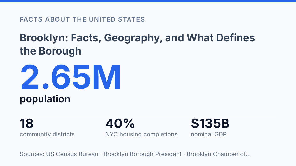
Brooklyn fits 2,653,963 people into 69.38 square miles of land, making density rather than size the first fact that explains the borough. The same place that began as Breuckelen, a Dutch town of 31 families and 134 people in 1660, now operates through 18 community districts, more than any other New York City borough. That scale creates a civic geography where neighborhood borders, transit corridors, housing pressure, and immigrant communities shape daily life as much as the borough line on a map.
Recent figures add another layer: 35.3% of Kings County residents were foreign-born in 2020–2024, and 44.6% of residents age five and older spoke a language other than English at home. Understanding the borough therefore means reading it at several scales at once: county, borough, neighborhood, economy, and historical settlement.
Where Brooklyn sits in New York City
Few U.S. places carry two official civic identities as visibly as Brooklyn: one of New York City’s five boroughs is also Kings County, New York. The two boundaries are coextensive, meaning the borough and the county cover the same territory even though they operate within different civic frameworks. That overlap explains why population tables, court records, and state-level references often use “Kings County,” while city government and everyday usage normally refer to the borough.
Geographically, the borough occupies the western end of Long Island, separated from Manhattan by the East River. Its position gives it a direct physical relationship with the city’s central island borough while still placing it on the same landmass as Queens, Nassau County, and Suffolk County. The Brooklyn Bridge remains the best-known connection across the East River, but its significance is geographic as well as symbolic: it marks one of the principal links between the borough and Lower Manhattan.
Scale is part of what makes this civic identity unusually consequential. According to U.S. Census Bureau QuickFacts, Kings County had an estimated population of 2,653,963 on July 1, 2025, down 3.0% from the April 2020 base, within 69.38 square miles of land and at 39,437.8 people per square mile.
Those figures place it among the most densely settled county-level jurisdictions in the United States, so its county status is not a minor administrative label. It identifies a compact, heavily populated urban jurisdiction embedded inside New York City rather than a separate municipality outside it.
Population, density, and neighborhood structure
The U.S. Census Bureau counted 2,736,074 residents in Kings County in the 2020 decennial census, a scale that makes neighborhood-level differences central to understanding the borough rather than a secondary detail. Large population size is distributed through a fine-grained civic structure: the borough has 18 community districts, more than any other New York City borough, according to the Brooklyn Borough President’s community board information. That administrative pattern reflects the practical reality that land use, schools, sanitation, parks, and transit needs vary sharply from one area to another.
Neighborhood identity is especially strong because the borough is not organized around a single dominant downtown in the way some cities are. Williamsburg is associated with waterfront redevelopment, mixed industrial-residential blocks, and high-demand rental housing; Park Slope is known for brownstone streets and proximity to major parkland; Bedford-Stuyvesant has extensive rowhouse fabric and long-established Black cultural institutions; and Coney Island combines residential towers, public housing, beach access, and amusement-district tourism. These examples show why broad borough averages can conceal very different daily conditions.
Housing form explains much of the density. Brownstones and rowhouses create compact residential blocks in many interior neighborhoods, while larger apartment buildings concentrate residents along commercial corridors, transit routes, and planned housing sites. Along parts of the waterfront, former industrial land has been converted into high-rise residential and mixed-use districts, changing both skyline and population distribution.
High density supports frequent transit use, street-level retail, and a large local customer base, but the same concentration creates pressure on housing costs, school capacity, curb space, and parks. Census data also points to the borough’s social complexity: in 2020–2024, 35.3% of Kings County residents were foreign-born and 44.6% of residents age five and older spoke a language other than English at home. Population density, in this context, is not only a measure of crowding; it is also a driver of linguistic, economic, and neighborhood diversity.
History from Dutch settlement to modern borough
A settlement recorded with just 31 families in 1660 later became powerful enough to enter Greater New York as a fully formed city rather than a mere outlying district. The Dutch colonial town of Breuckelen was one of several early settlements in what became Kings County, and its name preserves the connection to Breukelen in the Netherlands. According to a 2020 New York City Landmarks Preservation Commission report, the town had 134 people in 1660; by 1738, its 721 residents accounted for 31% of the county’s population, showing that the settlement was already becoming a local center before modern urban expansion.
That early growth did not lead directly to borough status. For much of the 19th century, Brooklyn was an independent municipality with its own civic institutions, political leadership, infrastructure debates, and sense of urban identity. The Brooklyn Navy Yard helps anchor that transition: established as a major naval shipyard in the early 19th century, it tied the city to national military production and maritime industry while reinforcing the importance of the waterfront to local employment and public investment.
The decisive legal change came in 1898, when the independent City of Brooklyn was consolidated into New York City and Kings County became the Borough of Brooklyn, according to the New York State Unified Court System’s historical account. Consolidation placed the former city inside a larger municipal government, changing how services, planning, taxation, and political authority were organized. It also created a lasting dual identity: the borough became part of a single citywide system, yet it retained the memory and habits of a place that had once governed itself.
That history still matters because local pride is not only cultural; it is institutional. The borough’s present-day civic arguments often reflect a long inheritance of neighborhood-level attachment, county identity, and former city status, even though formal authority has belonged to New York City for more than a century.
Economy, culture, and why the borough stands out
A borough with a $135 billion nominal GDP cannot be explained by its music halls, arenas, and restaurant mythology alone. According to the borough’s Chamber of Commerce Q1 2025 Economic Snapshot, it had 74,112 businesses and 796,557 employed people in Q3 2024, a scale that places its economy closer to that of a major standalone city than a secondary urban district. Tech firms, design studios, film and media work, and other creative industries help shape its national image, but health care, retail, food services, education, construction, and local services account for much of the employment that sustains daily economic activity.
Where borough scale turns into civic complexity
The numbers point to a practical reality: Brooklyn is not a single urban type but a county-sized system that must be interpreted at neighborhood scale. A population estimate can show contraction from the 2020 base, while housing permits, business counts, and job gains in places such as Coney Island and Brighton Beach show uneven momentum inside the same borough.
That tension matters for planning, journalism, and civic decision-making because boroughwide averages can conceal sharp local differences. The most accurate view treats Kings County as both one of New York City’s five boroughs and a collection of distinct local geographies whose needs rarely move in perfect alignment.
Frequently Asked Questions
Q: How large is Brooklyn compared with the other New York City boroughs?
A: Brooklyn is the most populous borough of New York City and one of the city’s largest by area. Its size and density have helped make it a major center for housing, commerce, and cultural institutions.
Q: What neighborhoods are considered part of Brooklyn?
A: Brooklyn includes a wide range of neighborhoods, from waterfront areas such as DUMBO and Brooklyn Heights to inland communities like Flatbush and Bushwick. Each neighborhood has its own housing stock, street pattern, and local commercial corridors.
Q: How is Brooklyn connected to Manhattan and the rest of New York City?
A: Brooklyn is linked to Manhattan and neighboring boroughs by bridges, tunnels, subway lines, and bus routes. These connections make it part of the city’s core commuting network and shape daily travel patterns across the borough.
Q: What makes Brooklyn different from Manhattan?
A: Brooklyn generally has more residential space, lower-rise streets, and a broader mix of neighborhood forms than Manhattan. Manhattan is more concentrated in high-density commercial development, while Brooklyn combines housing, industry, waterfront zones, and local business districts.
Q: Why is Brooklyn so often associated with cultural identity and change?
A: Brooklyn has long been shaped by immigration, working-class settlement, and neighborhood reinvention. That history has produced a borough with strong local identities, visible architectural variety, and continual demographic and economic change.