
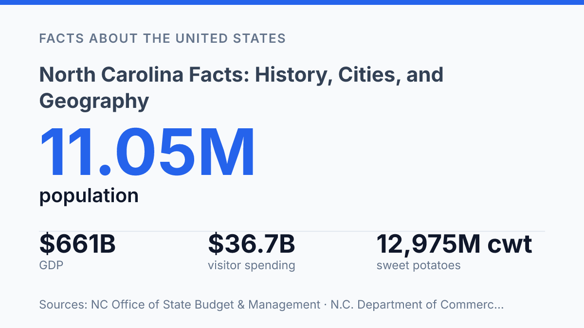
North Carolina had 11,052,495 residents in 2024, but only 58.5% lived inside incorporated municipalities, a useful clue that the state cannot be understood as simply urban, rural, coastal, or mountain. Its scale is economic as well as geographic: real GDP reached $661 billion in 2024, ranking 11th among states, while the coast alone includes roughly 12,000 miles of estuarine shoreline and 320 miles of ocean beaches. Those figures help explain why a single label rarely fits.
The same state contains Mount Mitchell at 6,684 feet, major research and financial centers, farms producing more than half of U.S. sweet potatoes, and cultural symbols that range from the longleaf pine to megalodon teeth. The facts below place those pieces in context, showing how population, place, industry, history, and identity connect.
North Carolina at a glance
More than four in ten residents lived outside incorporated municipalities in 2024, a pattern that makes the state less purely urban than its fast-growing metros suggest. Using U.S. Census Bureau estimates, the North Carolina Office of State Budget & Management reported that the state had 11,052,495 people as of July 1, 2024, with 58.5% living inside incorporated municipalities and 41.5% outside them. That split gives the state a dual profile: large metropolitan areas shape much of its growth, but rural and unincorporated communities remain central to how services, infrastructure, land use, and local economies are understood.
The state capital is Raleigh, while Charlotte is the largest city and one of the South’s major urban and financial centers. Their roles are different rather than interchangeable: Raleigh anchors state government and sits within a research-oriented metropolitan area, while Charlotte functions as the largest population and business hub.
Geographically, the state sits in the southeastern United States, with Virginia to the north, Tennessee to the west, Georgia at the far southwest, South Carolina along much of the southern border, and the Atlantic Ocean to the east. This position places it between the Appalachian interior and the Atlantic coast, a simple map fact that helps explain why the state contains dense cities, smaller towns, agricultural areas, military communities, and coastal settlements within a single political boundary.
Geography from the coast to the mountains
Few eastern states compress barrier islands, fall-line cities, and a peak above 6,684 feet into such a short westward progression. The coastal edge begins with the Outer Banks, a chain of narrow barrier islands backed by sounds, marshes, and estuaries rather than a simple oceanfront strip.
According to the state Division of Coastal Management in 2026, the managed coastal area includes 20 CAMA counties, roughly 12,000 miles of estuarine shoreline, 320 miles of ocean beaches, and more than 400 public beach and waterfront access points. That scale helps explain why coastal planning often centers on erosion, flood exposure, fisheries, ports, wetlands, and water quality as much as on beach communities.
Farther inland, the Piedmont forms the state’s broad middle zone, with rolling terrain that historically supported farms, mill towns, rail corridors, and later metropolitan growth. Its gentler topography made road and urban development easier than in the mountains, while its distance from the most exposed shoreline reduced some coastal hazards. The result is a region where land use has often mixed agriculture, manufacturing sites, suburbs, research campuses, and transportation corridors within a relatively accessible interior belt.
The Appalachian Mountains create a different physical and climatic setting in the west, where elevation reshapes settlement and travel. Mount Mitchell, measured by the NC Geological Survey at 6,684 feet, is the highest peak in eastern North America, and its elevation signals the sharp contrast between the western highlands and the lower coastal plain. Mountain counties tend to have cooler temperatures, steeper slopes, narrower valleys, and more constrained routes, so towns and roads often follow river valleys and passes rather than broad grids.
These three regions produce distinct weather and economic patterns within one state. The Atlantic coast is more exposed to tropical systems, storm surge, saltwater intrusion, and low-lying flood risk, which affects building standards, conservation priorities, and the use of wetlands and estuaries.
The mountains, by contrast, influence rainfall, temperature, forest cover, and watershed management, while also limiting large-scale flatland development. Between them, the Piedmont functions as a connective interior, shaped less by marine exposure or high elevation and more by transportation access and adaptable terrain.
Economy, industry, and major institutions
A $661 billion real GDP in 2024 placed the state 11th nationally, according to the N.C. Department of Commerce, but that headline figure reflects several different economies operating at once. Research, finance, farming, food processing, logistics, and advanced manufacturing all contribute to output, and their geographic distribution helps explain why growth is strongest in some metropolitan areas while many rural counties remain more dependent on legacy industries and lower-density labor markets.
Research Triangle Park anchors the state’s best-known research economy between Raleigh, Durham, and Chapel Hill. Its position is reinforced by nearby universities: North Carolina State University in Raleigh, Duke University in Durham, and the University of North Carolina at Chapel Hill. Together, those institutions supply research talent, medical and scientific expertise, startup activity, and partnerships with private employers, making the Triangle a center for life sciences, technology, higher education, and health-related employment rather than a single-industry hub.
Charlotte gives the economy a different national role through banking and corporate finance. Bank of America is headquartered there, and Truist, formed through the merger of BB&T and SunTrust, also keeps its headquarters in the city.
This concentration of financial institutions supports jobs in lending, risk management, professional services, real estate, and technology, while also connecting the state to national capital markets. The city’s prominence should not obscure the broader pattern: finance is a major pillar, but it is not the whole economic base.
Agriculture and manufacturing remain central to the state’s identity and export profile. USDA National Agricultural Statistics Service data show that in 2024 the state produced 205.2 million pounds of tobacco, or 63.1% of U.S. production, and 12.975 million cwt of sweet potatoes, or 52.6% of the national crop.
Poultry, furniture, and textiles also illustrate the mix of food production, wood products, and manufacturing traditions that continue outside the largest urban centers. The N.C. Department of Commerce reported 218 new economic-development projects, 16,956 announced jobs, and $15.2 billion in capital investment in 2024, evidence of momentum that spans sectors even as high-skill metro areas often capture the most visible gains.
History, culture, and state symbols
One of the state’s best-known claims to innovation began with two Ohio bicycle mechanics testing a machine on the sand near Kitty Hawk. On December 17, 1903, the Wright brothers made the first powered, controlled, sustained airplane flights, turning a remote testing ground into a national symbol of experimentation. The “First in Flight” identity rests on that event, but its meaning is broader than aviation: it links the state to risk-taking, applied mechanics, and the national story of technological change.
Revolutionary history gives the state another defining layer, especially through the Battle of Guilford Courthouse on March 15, 1781. British forces under Lord Cornwallis won the field near present-day Greensboro, but the cost was severe enough to weaken the army during the campaign that ended later that year at Yorktown. The battle is remembered less as a simple victory or defeat than as an example of how attrition, militia resistance, and local geography shaped the War for Independence in the South.
Official symbols translate parts of that historical and cultural identity into public shorthand. The dogwood serves as the state flower, the cardinal as the state bird, and the motto “Esse quam videri,” usually translated as “To be rather than to seem,” expresses an ideal of substance over display. The motto was adopted in 1893, giving formal language to a value often associated with civic restraint and public character.
Some symbols also show how state identity keeps expanding rather than remaining fixed in the colonial or Revolutionary past. The state fossil, megalodon teeth, points to deep natural history; according to the NC Geological Survey, the extinct shark’s teeth can be as large as 7 inches.
In 2023, the General Assembly also designated the longleaf pine as the emblem representing the state’s trees. Taken together, these markers show an identity built from military memory, scientific achievement, natural history, and civic ideals, rather than from a single founding narrative.
Why the state resists a single category
The most useful way to read these facts is as a guide to scale and variation, not as a checklist of trivia. A state with $15.2 billion in announced capital investment, more than $100 million in visitor spending per day, and large areas outside incorporated municipalities faces different pressures in different places.
Coastal access, mountain conservation, farmland, transportation, and city growth are not separate stories; they are competing uses of the same land and public capacity. Future changes will likely be measured less by whether the state grows than by where that growth lands, who governs it, and which regional identities remain visible as investment and population continue to shift.
Frequently Asked Questions
Q: What is North Carolina best known for?
A: North Carolina is known for a mix of Atlantic coastline, mountain scenery, and a strong historical identity. It is also widely associated with major universities, research activity, and a large role in agriculture and manufacturing.
Q: Which cities are the largest in North Carolina?
A: Charlotte is the state’s largest city, followed by Raleigh, Greensboro, and Durham among the most populous urban centers. These cities anchor much of the state’s economic and population growth.
Q: What are the main geographic regions of North Carolina?
A: The state is usually divided into the Coastal Plain, the Piedmont, and the Appalachian Mountains. This geography creates clear differences in climate, elevation, land use, and settlement patterns across the state.
Q: Why is North Carolina important in American history?
A: North Carolina played an important role in colonial America, the Revolutionary era, and the Civil War. It was also the site of the first successful powered flight at Kitty Hawk in 1903, which remains one of its best-known historical events.
Q: What is the climate like in North Carolina?
A: North Carolina has a varied climate because of its range from coast to mountains. Coastal areas are generally warmer and more humid, while mountain regions are cooler and receive more elevation-driven weather differences.