
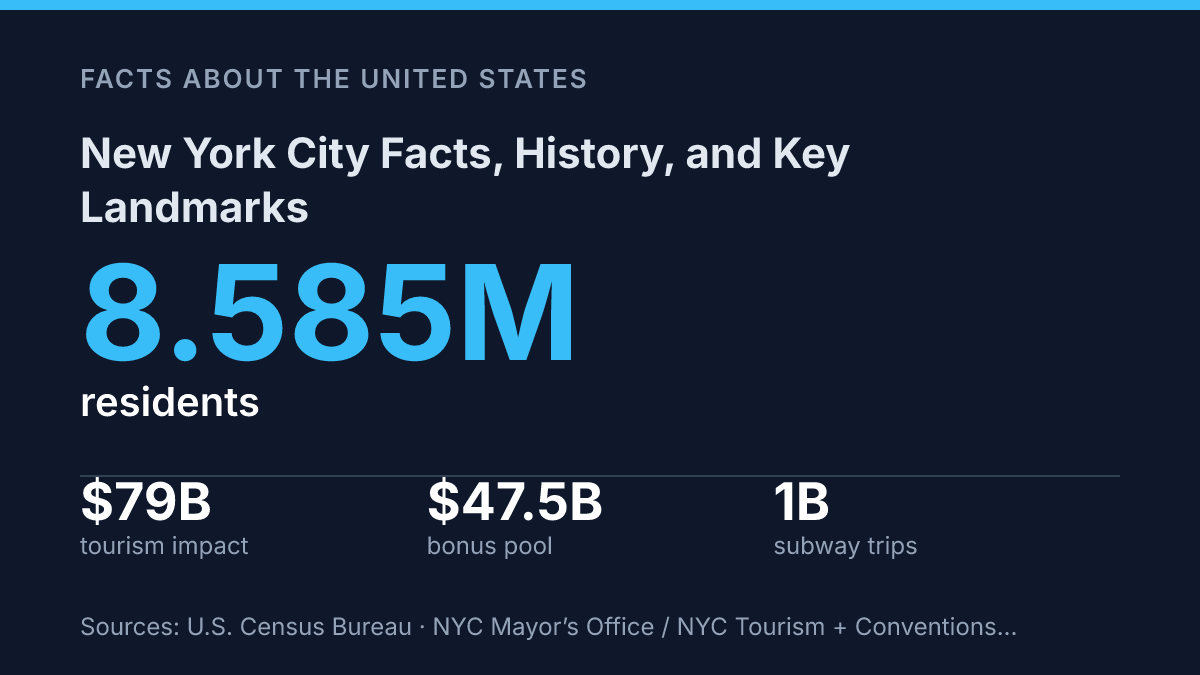
New York City had an estimated 8,584,629 residents on July 1, 2025, yet its modern civic story still turns on two earlier dates: 1625, when Nieuw Amsterdam became the seat of government for New Netherland, and 1664, when the British renamed it New York. That span helps explain why the city cannot be understood through size alone.
Its power comes from layers that still interact: a financial district whose securities industry supplied 7% of city tax revenue in FY2024, a transit system that recorded its 1 billionth subway trip of 2024 before the year ended, and an immigrant population of 3.1 million that accounts for 43% of the workforce. The city’s landmarks draw global attention, but its identity is also formed by daily movement across five boroughs, uneven economic influence, and the practical demands of life in one of the country’s largest urban centers.
How the city grew from New Amsterdam to today
The five-borough city did not exist until 1898, nearly three centuries after Dutch traders began building a colonial port on Manhattan. The settlement usually traced to 1624 developed around trade, harbor access, and imperial competition rather than around a single planned urban center.
According to the NYC Department of Citywide Administrative Services, Nieuw Amsterdam became the seat of government for Nieuw Netherlands in 1625, and the British renamed it New York after taking control in 1664. That shift placed the port under English rule, but its commercial function remained central to its growth.
By the 19th century, the harbor city had become a major point of entry for goods, capital, and people. Immigration reshaped its neighborhoods and labor force, especially as arrivals from Europe and elsewhere passed through Ellis Island in the late 19th and early 20th centuries.
The scale of migration expanded the city’s workforce and cultural mix, while also placing pressure on tenements, sanitation, schools, and transport. Growth was therefore both an economic advantage and a public-management problem.
Municipal consolidation in 1898 marked one of the decisive administrative turning points. Manhattan, Brooklyn, Queens, the Bronx, and Staten Island were joined under one city government, creating the basic structure still used today. The change matched political boundaries more closely to the region’s economic reality: people, freight, ferries, bridges, and rail lines were already tying the harbor, islands, and mainland communities into a single urban system.
The city’s scale remains the result of those layered forces: colonial port geography, commercial expansion, immigration, and metropolitan consolidation. The U.S. Census Bureau estimated its population at 8,584,629 residents as of July 1, 2025, underscoring its continued position as the largest U.S. city. That modern size reflects centuries of attraction and strain: the same forces that made the city economically powerful also created recurring demands for housing, infrastructure, and public services.
Why Wall Street and Midtown matter nationally
Wall Street accounted for 7% of NYC tax revenue in FY2024, a share that shows how one industry district can affect public budgets far beyond its physical size, according to the Office of the New York State Comptroller. Its national importance rests on the concentration of banks, brokerages, investment firms, legal services, and market infrastructure clustered around Lower Manhattan.
The New York Stock Exchange, located at 11 Wall Street, remains the most visible symbol of that role because it anchors one of the world’s central venues for public equity trading and corporate capital formation. The same comptroller report estimated the 2024 securities-industry bonus pool at a record $47.5 billion, underscoring how financial-sector earnings circulate through tax receipts, real estate, restaurants, philanthropy, and high-end services.
Midtown extends the city’s economic influence through a different but related concentration of activity. Major offices, corporate headquarters, media companies, entertainment businesses, hotels, and professional-service firms sit within a compact district where proximity still matters for dealmaking, production, client meetings, and brand visibility.
Times Square functions as both an advertising center and a global tourism marker, while Rockefeller Center combines office space, broadcasting history, retail, public art, and seasonal attractions in a single commercial complex. Rather than depending on one sector, Midtown’s national role comes from the overlap of media, corporate management, hospitality, retail, and cultural commerce.
Tourism turns that concentration into a broader urban economy. NYC Tourism + Conventions and the Mayor’s Office forecast nearly 65 million visitors in 2024, with $79 billion in economic impact, more than $51 billion in direct traveler spending, and over 388,000 leisure and hospitality jobs supported.
Those figures help explain why office districts, theaters, hotels, restaurants, museums, and retail corridors are economically linked rather than separate parts of the city. The same density that supports this activity also raises operating costs and intensifies competition for space, which can favor large firms and established institutions while making central locations harder for smaller businesses, arts groups, and lower-margin services to sustain.
Landmarks that define the city’s identity
Few civic symbols carry as much layered meaning as the Statue of Liberty: a monument to republican ideals that became inseparable from memories of migration and inspection on nearby Ellis Island. Dedicated in 1886 and now managed by the National Park Service as part of the Statue of Liberty National Monument, the statue projects welcome outward from New York Harbor while Ellis Island anchors that symbolism in the lived experience of arrival. Together, they give the harbor a national role, not simply a local one: the city becomes an image of entry to the United States, shaped by hope, bureaucracy, separation, and reinvention.
Central Park defines the city in a different way because it interrupts density rather than amplifying it. The park covers 843 acres in Manhattan, and its design by Frederick Law Olmsted and Calvert Vaux used meadows, wooded paths, transverse roads, lakes, and carefully composed views to create the impression of natural scenery inside a highly planned urban environment. That design matters because the park is not only a recreational space; it is also civic infrastructure, giving surrounding neighborhoods shared access to landscape, public gathering space, and relief from traffic and buildings.
Other landmarks are powerful because their forms are immediately legible. The Empire State Building condensed early 20th-century ambition into a skyscraper silhouette that remains a shorthand for the skyline, even as taller towers have risen around it.
The Brooklyn Bridge, opened in the late 19th century, carries symbolic weight beyond its engineering because it physically and visually ties Manhattan and Brooklyn together. Times Square works less through architecture than through spectacle: illuminated signs, theaters, crowds, and media imagery have made it one of the most recognizable urban crossroads in the world.
Recognition also creates practical limits. These sites attract intense attention, yet their meaning depends on preservation, safety management, and rules that restrict how much they can change.
A landmark that is too altered risks losing the visual language that made it recognizable; one that is not maintained risks becoming unusable or unsafe. The city’s identity is therefore carried not just by monuments and spaces, but by the continuing work required to keep them public, legible, and historically grounded.
Population, boroughs, and daily life patterns
More people live in the five boroughs than in 38 U.S. states, yet the city’s government still organizes local identity through Manhattan, Brooklyn, Queens, the Bronx, and Staten Island. According to the U.S. Census Bureau, the latest available estimate placed the city’s population at 8,584,629 as of July 1, 2025. The borough structure makes that scale administratively legible, but it does not make daily life uniform; commute length, housing type, street density, and access to parks or transit can differ sharply from one neighborhood to another.
Density is the practical condition behind many of those differences. Census QuickFacts lists the city’s 2020 population density at 29,302.7 people per square mile, a figure that helps explain why apartment living, shared public space, and heavy transit use are central to ordinary routines. The same density supports frequent service and concentrated commerce, but it also intensifies competition for housing and creates large variations in crowding from block to block.
Transit remains the dominant commute pattern rather than a secondary option. NYC Department of Transportation’s 2024 Citywide Mobility Survey found that 52.9% of commutes used transit, compared with 24.0% by car, 8.9% by walking, and 9.1% by working from home. The MTA’s scale reinforces the same point: in 2024 the subway passed 1 billion trips for the year, while October alone recorded nearly 114 million subway rides and more than 40 million bus rides.
Housing costs are the other defining constraint of daily life in a dense city. Census Bureau QuickFacts, based on 2019–2023 estimates, placed median gross rent above $1,600 per month, while owner-occupied housing made up only about one-third of occupied units. Those citywide figures smooth over major local differences, but they show why affordability, household size, and commute tradeoffs are closely linked across the boroughs.
The numbers that will define the city’s next chapter
The measures that matter next are unlikely to be limited to population rank or visitor totals. A city of 8.585 million can appear statistically steady when all five boroughs show little year-to-year change, but small shifts in where people live, commute, and spend money can alter school demand, storefront activity, tax receipts, and transit planning.
The useful way to read the city is therefore comparative: old port settlement against global finance center, landmark image against working infrastructure, tourism draw against everyday residence. The same streets that preserve a 17th-century origin story now carry decisions about housing, mobility, and public revenue into the next census cycle.
Frequently Asked Questions
Q: When was New York City founded?
A: New York City began as New Amsterdam, a Dutch settlement established in 1624 and renamed in 1664 after English control changed hands. Its early colonial history still shapes the city’s street patterns, place names, and port economy.
Q: Why is New York City historically important?
A: The city became a major center of immigration, finance, trade, and publishing, which gave it outsized influence in the United States. Its role as a port and commercial hub helped it grow into the country’s largest city and one of its most internationally connected.
Q: What are the most famous landmarks in New York City?
A: The Statue of Liberty, Central Park, the Empire State Building, and Times Square are among the most recognized sites. Each represents a different part of the city’s identity, from immigration and public space to skyscraper history and commercial spectacle.
Q: What is the significance of the Statue of Liberty?
A: The Statue of Liberty was a gift from France and became a symbol of freedom and welcome for immigrants arriving by sea. Located in New York Harbor, it remains one of the clearest emblems of the city’s global identity.
Q: How many boroughs are in New York City?
A: New York City has five boroughs: Manhattan, Brooklyn, Queens, the Bronx, and Staten Island. This structure reflects the city’s consolidation in 1898 and helps explain why it functions as both a single city and a collection of distinct urban centers.