
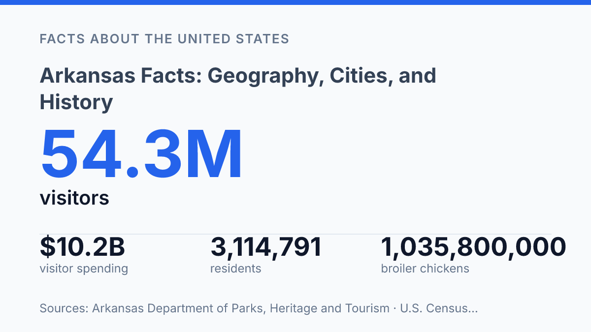
Arkansas has an estimated 3,114,791 residents in 2025, yet its profile is shaped as much by rivers, farms, and corporate headquarters as by population size. Across 51,992.85 square miles, the state links the Ozark and Ouachita highlands with the Mississippi Alluvial Plain, where rice, poultry, and timber remain tied to national markets. The same geography also helps explain sharper climate signals: 2024 tied for the state’s second-warmest year on record, and 52 tornadoes were recorded, well above the 30-year average of 37.
Economic scale appears in different forms, from $4.1 billion in agricultural exports to the Fayetteville area’s concentration of Walmart, Tyson Foods, and J.B. Hunt. These facts create a practical frame for understanding the state’s landforms, cities, industries, and historical markers without reducing it to a single regional identity.
Arkansas at a glance
Little Rock is both the capital and the largest city, giving Arkansas a single civic anchor rather than separate political and population centers. That concentration matters for a quick state profile because government, finance, health care, and major cultural institutions are clustered in the same metropolitan area, while other regions retain distinct economic and geographic identities.
The official nickname, “The Natural State,” points to more than a tourism slogan. It reflects the state’s mix of mountains, forested uplands, rivers, lakes, and lowland plains, which support outdoor recreation as well as resource-based industries. A brief snapshot can make the state appear easy to summarize, but its internal variety is pronounced: the Ozarks in the northwest, the Ouachita Mountains in the west-central area, and the delta region in the east create markedly different terrain, settlement patterns, and land uses.
As of July 1, 2025, the state had an estimated 3,114,791 residents, up 3.4% from the April 2020 estimates base; it covered 51,992.85 square miles and had a median household income of $60,773 in 2020–2024 dollars, according to U.S. Census Bureau QuickFacts, 2025/2024 data. Those figures place the state in a middle position nationally: neither among the smallest by population nor among the largest, with enough land area for strong regional contrasts between metropolitan centers, agricultural counties, mountain communities, and river corridors.
Landforms, rivers, and climate
A single east-to-west transect can move from the rocky highlands of the Ozark Mountains into some of the flattest and most flood-exposed agricultural ground in the lower Mississippi Valley. In the north, the Ozark Mountains are marked by dissected plateaus, springs, caves, forested ridges, and clear streams that have favored timber, grazing, recreation, and smaller-scale settlement patterns rather than broad row-crop farming. The eastern Mississippi Alluvial Plain has a very different physical logic: low relief, deep alluvial soils, and extensive drainage works have made it one of the state’s most important farming zones, especially where water control is reliable.
Rivers give the state much of its economic and environmental structure. The Arkansas River crosses the state from west to east and functions as a major interior waterway, while the Mississippi River forms much of the eastern border and links lowland counties to one of North America’s largest navigation systems.
Smaller rivers also define distinctive terrain; the Buffalo National River, established by Congress in 1972 as the nation’s first national river, protects about 135 miles of free-flowing river within its park boundary, according to the National Park Service. These waterways support transport, irrigation, fishing, paddling, and scenic tourism, but the same access to water increases flood exposure in low-lying eastern counties where heavy rain and backwater conditions can spread across broad areas.
The state’s humid subtropical climate reinforces those contrasts by combining long warm seasons, frequent moisture, and periodic severe weather. According to the National Weather Service in Little Rock, 2024 tied as the state’s second-warmest year on record, with an average temperature of 63.3°F and precipitation of 54.52 inches, nearly five inches above average. That wet pattern is beneficial for forests, pasture, and many crops, but it also raises management demands for drainage, levees, and road maintenance in flood-prone terrain.
Severe storms are a recurring part of the physical setting rather than an occasional anomaly. The National Weather Service reported 52 tornadoes in 2024, above the 30-year average of 37, with May accounting for more than half of that year’s total. Tornado risk does not erase the importance of rivers and fertile plains, but it helps explain why weather preparedness, building standards, and emergency access matter across both upland and lowland parts of the state.
Economy, industries, and major employers
Walmart’s Bentonville headquarters employed 15,000 people in its home market, while about 1,600 supplier offices nearby employed more than 10,000 additional workers, according to HUD USER’s 2025 analysis. That concentration makes Bentonville more than a corporate address: it supports professional services, technology vendors, packaging firms, transportation contractors, and other businesses tied to retail supply chains. The same analysis identified Walmart, Tyson Foods, and J.B. Hunt as three Fortune 500 headquarters in the Fayetteville housing market area, underscoring the region’s unusually dense corporate base for a smaller metropolitan economy.
Food and agriculture remain central even as the economy has broadened beyond traditional farm production. USDA National Agricultural Statistics Service data show the state produced 1,035,800,000 broiler chickens in 2024, a figure that reflects the scale of poultry growing, processing, feed supply, and refrigerated distribution. Rice is another defining product: USDA/NASS reported 109,262,000 hundredweight of rice worth about $1.486 billion in 2024, and the U.S. Trade Representative’s state trade profile ranked the state first nationally for rice exports, with rice shipments valued at $1.1 billion.
Manufacturing and logistics connect these agricultural strengths to wider national and international markets. Tyson Foods links livestock production with large-scale food processing and branded consumer products, while J.B. Hunt gives the region a major transportation and freight-management anchor. Defense manufacturing also has a presence through Lockheed Martin’s Camden facility, which illustrates how the industrial base extends beyond food and retail into aerospace and defense-related production.
These anchors create high-visibility employment, supplier networks, and specialized business services, but they do not make the economy dependent on one company or one sector. Rural counties can still have a narrower employment mix, with heavier exposure to agriculture, food processing, timber-related work, and other wage-sensitive industries. The result is a mixed economy in which corporate headquarters and export-scale agriculture coexist with uneven local labor markets.
State history and cultural markers
The state entered the Union as the 25th state in 1836, then voted to leave it in 1861 after the outbreak of the Civil War. That sequence places its early statehood within a larger borderland pattern: settlement, plantation agriculture, slavery, and competing loyalties shaped public life before the war, while Reconstruction and later segregation shaped civic institutions long after it ended. The point is not that the state’s history is reducible to the Civil War, but that statehood and secession remain key reference points for understanding its political memory.
Civil rights history gives the state one of its most nationally recognized modern landmarks. In 1957, the Little Rock Nine attempted to attend Central High School in Little Rock under court-ordered desegregation, facing organized resistance before federal intervention allowed them to enter.
The school is now preserved as Little Rock Central High School National Historic Site, which makes the episode part of both local memory and national civil rights interpretation. Its prominence also shows how a single public institution can become a lasting marker of constitutional conflict, citizenship, and educational access.
Older cultural markers sit beside that civil rights legacy rather than replacing it. The diamond is one example: it is the official state gem, and Crater of Diamonds State Park near Murfreesboro is widely associated with the state’s unusual place in American gemstone history.
Political culture supplies another reference point through Bill Clinton, who served as governor before becoming the 42nd president of the United States. Taken together, these markers give the state an identity built from several layers: frontier and agricultural traditions, public memory of segregation and desegregation, and nationally visible symbols in politics and heritage.
Why the next set of numbers matters
The state’s next set of facts will likely be shaped by measurement rather than myth: population estimates, storm counts, crop values, visitor spending, and employer expansions can change the picture faster than older regional labels do. Arkansas’s growth since 2020 has been moderate, but its exposure to severe weather, major role in agriculture, and concentration of large employers make future comparisons especially useful.
The most practical way to read the state is as a set of linked systems: rivers affect farming and recreation, corporate hubs affect migration, and climate records affect infrastructure decisions. A single new Census estimate or weather year can shift how the map is understood.
Frequently Asked Questions
Q: What is Arkansas known for geographically?
A: Arkansas is known for its varied terrain, which includes the Ozark and Ouachita mountains, broad river valleys, and fertile plains. This mix of landforms shapes agriculture, water access, and recreation across the state.
Q: What is the capital of Arkansas?
A: The capital is Little Rock, which is also the state’s largest city. It serves as Arkansas’s main center for government, transportation, and many business and cultural activities.
Q: Which major rivers are important in Arkansas?
A: The Mississippi River forms much of Arkansas’s eastern border, and the Arkansas River crosses the state from west to east. These waterways have influenced settlement patterns, trade, and farming for centuries.
Q: When did Arkansas become a state?
A: Arkansas became the 25th U.S. state in 1836. That date places its statehood in the period of rapid westward expansion before the Civil War.
Q: What are some notable historical influences in Arkansas?
A: Arkansas history reflects Indigenous presence, French and Spanish colonial influence, and later U.S. settlement. These layers of history are visible in the state’s place names, political development, and regional traditions.