
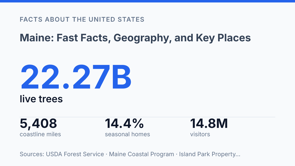
Maine compresses 5,408 miles of coastline and 17.4 million acres of forest into a state whose 2024 population was just over 1.4 million. That combination explains why a map of the state can be misleading: coastal towns, inland timberlands, small cities, seasonal homes, and working waterfronts operate on different scales but remain closely linked. Recent data sharpen the picture.
Population growth is positive but modest, with migration offsetting a natural decrease; tourism spending rose in 2024 even as visitor counts fell; and lobster landings remain economically significant while changing from year to year. The result is a state profile defined less by one dominant city or industry than by geography, resource use, and seasonal pressure. The sections that follow trace how location, settlement patterns, economic activity, statehood, and cultural markers help explain the state’s current identity.
Where Maine Is and What Shapes Its Geography
The coastal zone is formally measured at 5,408 miles, including all municipalities with tidal waters and state-owned submerged lands and islands out to 3 nautical miles, according to the Maine Department of Marine Resources / Maine Coastal Program in 2026; that scale helps explain the state’s maritime identity, but it does not make the shoreline the whole geographic story.
The state borders New Hampshire to the west, Quebec to the northwest, New Brunswick to the east and northeast, and the Atlantic Ocean to the south and southeast. This position places it at both the northeastern edge of the United States and the southwestern edge of Atlantic Canada, a geography that shapes road travel, trade routes, and regional identity.
Along the rocky Downeast coast, peninsulas, bays, islands, and tidal inlets create a highly irregular shore rather than a simple coastal strip. That physical pattern supports working harbors and water-facing communities, but it also makes travel indirect because roads often follow long fingers of land around water. The coast-first image is therefore accurate in cultural and economic terms, yet incomplete as a description of the state’s full physical character.
Much of the interior, especially to the north, is forested, sparsely settled, and organized around rivers, lakes, and long-distance road corridors rather than dense coastal towns. USDA Forest Service data for 2025 reported 17,418,749 acres of forest land, equal to 88% of sampled land area, with 22.27 billion live trees at least 1 inch in diameter. Those figures help explain why forestry, outdoor recreation, conservation, and rural access are central to understanding inland geography.
Acadia National Park on Mount Desert Island is one of the clearest geographic reference points because it compresses several defining features into one place: granite shoreline, offshore islands, steep coastal mountains, and protected Atlantic-facing terrain. Its location also shows how the central and Downeast coast differs from the northern interior, linking the state’s best-known scenic coastline to a much broader pattern of forests, waterways, and uneven settlement.
Population, Cities, and How People Are Distributed
A state with 1,405,012 residents in 2024 still depends politically and economically on a relatively small southern urban corridor. According to the State Economist’s 2024 Year in Review, the population rose by 5,366 from 2023, but the increase came from migration rather than births, with a natural decrease offset by domestic and international arrivals. That pattern matters because modest statewide growth can still sharpen regional differences when newcomers and jobs concentrate in the same few places.
Portland is the largest city and functions as a major port, cultural hub, and service center for the wider region. Its influence extends beyond municipal boundaries through health care, higher education, finance, restaurants, arts institutions, and transportation links. The surrounding Cumberland County area also shows the pull of the southern part of the state: in 2024, the State Economist Office reported that Cumberland County had the fastest county growth rate at 0.82%.
Augusta anchors state government as the capital, while Lewiston remains one of the most important inland cities. Their roles show that not all influence is coastal or metropolitan in the same way: Augusta’s importance is administrative, and Lewiston’s is tied to its position as a regional population, employment, and service center. Even so, neither shifts the broader pattern that the densest settlement and much of the economic gravity lie in the south.
Farther north, population is spread more thinly across larger areas, and some counties are shrinking rather than growing. Aroostook County recorded the steepest county decline in 2024 at -0.56%, while 11 counties grew and 5 declined statewide. The result is a state whose map can be misleading: land area extends far north, but residents, institutions, media markets, and many economic decisions are weighted toward the more urbanized southern counties.
Economy, Industries, and the Role of Natural Resources
Visitors spent $9.233 billion in the state in 2024 even as the visitor count fell, a pattern that captures both the strength and unevenness of its resource-based economy. The state Office of Tourism and Downs & St. Germain Research reported 14,800,600 visitors that year, down 3.1% from 2023, while average spending rose 5% to $624 per visitor. Higher spending helped sustain restaurants, lodging, retail, guide services, and transportation businesses, but the decline in visits also shows why tourism-dependent communities can be sensitive to weather, fuel costs, household budgets, and short peak seasons.
Forests give the economy its oldest industrial base, linking land ownership, transportation routes, mill towns, and export markets. USDA Forest Service data reported that forest covered 88% of sampled land area in 2025 and included 22.27 billion live trees at least 1 inch in diameter.
That scale explains why logging, sawmills, pulp, paper, wood products, and newer forest-based uses remain more than heritage industries; they influence employment, municipal tax bases, and land-management decisions across large rural areas. Paper manufacturing is smaller than during its peak mill era, but its history still shapes communities where industrial sites, hydropower access, and skilled trades developed around timber processing.
Commercial fishing provides a parallel resource economy along the coast, with lobster as the defining catch. Preliminary Department of Marine Resources figures put 2025 lobster landings at 78,826,683 pounds worth $461,384,405, down from 87,279,523 pounds and $536,466,702 in 2024.
The drop shows that a signature industry can remain economically significant while still facing uneven year-to-year returns. Landings, dock prices, bait and fuel costs, labor availability, and warming-water pressures can all affect income before seafood reaches processors, dealers, restaurants, or export markets.
Tourism concentrates many of these resource advantages into seasonal business cycles. Acadia National Park, coastal towns, lakes, forests, and outdoor recreation draw summer and early-fall demand, supporting jobs that may expand sharply for part of the year and contract after peak travel periods. Seasonal housing reinforces that pattern: an Island Park Property Management analysis using Census ACS 2024 data counted 109,834 homes classified for seasonal, recreational, or occasional use, equal to 14.4% of all housing units, the highest share of any state. The result is an economy where natural resources remain central, but growth depends on timing, access, prices, labor supply, and environmental conditions rather than steady expansion alone.
History, Statehood, and Well-Known Cultural Markers
The state entered the Union not as an isolated local milestone but as the free-state counterpart in the Missouri Compromise era, a national bargain over slavery’s expansion. After separating from Massachusetts, it became the 23rd state on March 15, 1820. That origin helps explain why statehood is often discussed in both local and national terms: it was a boundary-making event for northern New England and part of a larger federal settlement over the balance between free and slave states.
Among historic sites, Portland Head Light is one of the clearest visual shorthand markers for the state. Located in Cape Elizabeth and first lit in 1791, it is widely recognized because it combines an early federal-era lighthouse with a dramatic Atlantic setting. Its prominence in photography, tourism material, and local heritage interpretation has made it less a single structure than a symbol of maritime continuity.
Lighthouses, seafood, and older New England traditions form much of the state’s public image. White-steepled villages, working harbors, chowder, lobster rolls, and coastal fortifications all reinforce an identity tied to the North Atlantic. That image is accurate but selective: it can make the state appear more uniformly maritime than it is, when inland towns, river corridors, farms, conservation areas, and cold-weather recreation also shape everyday life.
State symbols remain active civic choices rather than fixed relics. In the November 5, 2024 referendum on Question 5, voters rejected a proposal to replace the current state flag, with 358,912 votes in favor and 451,366 opposed, about 55.7% voting no, according to Secretary of State certification. The result showed that even familiar emblems can become part of contemporary debates over heritage, design, and regional identity.
Why scale matters more than stereotypes
Any current profile of Maine has to treat seasonality as a governing condition, not a side note. A state with the nation’s highest reported 2024 share of seasonal, recreational, or occasional-use housing faces different planning questions from states where housing demand is steadier through the year. The same pattern applies to visitor spending, fisheries, and coastal management: annual totals matter, but timing and place often determine the pressure felt by communities.
The rejected 2024 flag change also shows that identity is not fixed by symbols alone. It is negotiated through practical choices about land, water, work, and who can afford to stay.
Frequently Asked Questions
Q: What is Maine known for?
A: Maine is known for its long Atlantic coastline, dense forests, and maritime economy. It is also closely associated with lobster fishing, shipbuilding history, and outdoor recreation in places such as Acadia National Park.
Q: Where is Maine located in the United States?
A: Maine is in the northeastern corner of the United States and borders New Hampshire, Canada, and the Atlantic Ocean. Its position gives it both a coastal climate and a strong connection to cross-border trade and travel.
Q: What are the biggest cities in Maine?
A: Portland is the largest city and a major economic center, while Augusta is the state capital. Bangor, Lewiston, and South Portland are also important population and service hubs.
Q: What is the climate like in Maine?
A: Maine has a humid continental climate in most inland areas, with cold, snowy winters and mild to warm summers. Coastal areas are moderated by the Atlantic Ocean, which can reduce temperature extremes compared with the interior.
Q: Which places should be included in a Maine travel overview?
A: A solid overview usually includes Acadia National Park, Portland, Bar Harbor, and the state capital in Augusta. These places represent Maine’s coastal scenery, cultural life, and government centers in a compact way.