
Mississippi combines 46,923.96 square miles of land with just 63.1 residents per square mile in the 2020 census, making scale and sparsity central to understanding the state. Its 2025 population estimate, 2,954,160 residents, was slightly below the 2020 base, while the state remained 36.8% Black alone in recent Census data, a demographic fact that connects present-day profile to deeper historical patterns. The state’s geography is equally explanatory: the river system, Gulf-influenced weather, and broad rural counties shape settlement, agriculture, transportation, and risk.
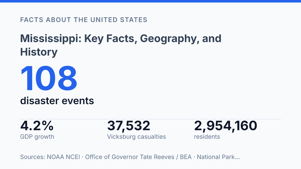
NOAA recorded 108 billion-dollar weather and climate disasters affecting the state from 1980 through 2024, while Vicksburg and Freedom Summer anchor two different eras of national consequence. The following sections examine how location, land, climate, history, people, and industry fit together rather than treating them as separate facts.
State profile and where it sits
Admitted to the Union on December 10, 1817, Mississippi carries the postal abbreviation MS and occupies a south-central position where inland river states meet the Gulf Coast.
The state’s capital is Jackson, which is also its largest city by population. That overlap matters administratively because the principal seat of state government and the largest urban population center are concentrated in the same municipality, rather than divided between separate political and commercial hubs.
According to U.S. Census Bureau QuickFacts, the state has 46,923.96 square miles of land area and a 2020 population density of 63.1 people per square mile. Those figures place it in the category of relatively spacious, lower-density states, a useful baseline for understanding settlement patterns, infrastructure, and the rural character of many counties.
Geographically, the state borders Tennessee to the north, Alabama to the east, Louisiana to the southwest, Arkansas across the river to the northwest, and the Gulf of Mexico to the south. Its Gulf frontage is limited compared with many coastal states, but the short shoreline still carries practical significance for trade access, storm exposure, and fisheries. This mix of inland borders and coastal access helps explain why the state is often discussed both as part of the Deep South and as part of the lower river-and-Gulf region.
Land, rivers, and climate patterns
A river deep enough to carry barge traffic along the western edge can also spread across the Delta when heavy rain pushes it beyond its banks. The Mississippi River serves as both boundary and infrastructure: it links inland farms, terminals, and manufacturers to national and international shipping routes, while its floodplain requires levees, spillways, drainage systems, and constant monitoring. The U.S. Army Corps of Engineers reported that record rainfall in early April 2025 caused a rapid rise from Cairo southward to moderate flood stage, yet river stages later remained well below normal by December 2025, a contrast that shows how quickly water conditions can shift within the same system.
The Delta is the state’s most recognizable lowland region, a broad alluvial plain built by river deposits and marked by very flat terrain, deep soils, and extensive drainage works. Its physical character differs sharply from the hill country in the northeast, where higher relief, more dissected terrain, and mixed uplands create a less uniform agricultural setting. That contrast helps explain why flood control and soil management are central in the Delta, while upland areas face different concerns such as erosion, runoff, and land-use limits on steeper ground.
Climate patterns are generally humid subtropical, with hot, humid summers and comparatively mild winters. Rain can occur in any season, but recent records show that wet and dry extremes both matter: NOAA reported that August 2024 was the state’s driest August on record as drought or abnormally dry conditions expanded across much of the Deep South. Along the Gulf Coast, tropical storms and hurricanes add another layer of risk through storm surge, destructive winds, and inland flooding from heavy rain.
Weather exposure is not occasional background noise; it is a recurring planning issue for farms, ports, roads, utilities, and communities. From 1980 through 2024, NOAA’s National Centers for Environmental Information recorded 108 confirmed weather and climate disaster events affecting the state with losses above $1 billion each. The same water systems that support commerce, fertile soils, and transportation therefore also make floodplain management, coastal resilience, and drainage capacity central parts of how the state functions.
History, Civil War, and civil rights milestones
Vicksburg’s surrender on July 4, 1863, gave Union forces control of one of the Civil War’s decisive strategic prizes and, according to the National Park Service, effectively split the Confederacy. The Vicksburg campaign ran from March to July 1863 and produced 37,532 estimated casualties, most of them Confederate. Its outcome showed how the war in the state was tied to national military strategy, not only to local battlefields.
On January 9, 1861, the state seceded from the Union and became one of the founding members of the Confederacy. Secession was rooted in the defense of slavery and the plantation economy, which shaped political power before the war and the social order that Reconstruction attempted to remake afterward. Federal defeat of the Confederacy ended slavery as a legal institution, but the postwar period brought new conflicts over voting rights, labor, land ownership, and state authority.
The killing of Emmett Till in Money, Mississippi, in 1955 became a national catalyst because it exposed the violence used to enforce segregation. Till, a Black teenager from Chicago, was abducted and murdered after being accused of offending a white woman; the acquittal of the men charged with his killing drew national outrage. The case helped mobilize civil rights activism by making local racial terror visible to a broader American audience.
Federal authority again collided with segregationist resistance during the 1962 Ole Miss integration crisis. James Meredith, a Black Air Force veteran, sought to enroll at the University of Mississippi under federal court orders, and violent opposition on campus led to federal intervention. The episode linked the state’s institutions to the national struggle over equal protection, court enforcement, and the limits of state resistance to desegregation.
Local organizing also shaped the state’s record. The National Archives reports that 1964 Freedom Summer brought 1,000 out-of-state volunteers and was met with extensive violence, including arrests, beatings, and attacks on churches, homes, and businesses. The campaign reflected long-running Black-led activism inside the state, supported by national civil rights networks.
The state’s late formal recognition of the 13th Amendment shows how symbolic institutional change can lag legal reality. Lawmakers voted to ratify the abolition amendment in 1995, but the action was not formally submitted and entered into federal records until 2013. That step did not alter the amendment’s national legal force, but it became a public marker of delayed official acknowledgment.
Population, economy, and major industries
Mississippi’s population has changed very little since 2020, which makes slow growth itself one of the state’s defining demographic facts. According to the U.S. Census Bureau QuickFacts estimate, the state had 2,954,160 residents on July 1, 2025, down 0.2% from the April 2020 estimates base. That total places it below the large-population states and closer to the smaller half of the country’s state populations, a scale that helps explain why labor force size, hospital access, school enrollment, and infrastructure funding are recurring policy concerns.
Demographically, the state remains closely tied to the history described earlier, but the current profile also matters for public services and workforce planning. Census QuickFacts reports that Black residents accounted for 36.8% of the population when measured as Black alone, while foreign-born residents made up 2.4% of the population for 2020–2024. Those figures point to a state where long-established communities, rather than recent international migration, shape much of the social and political baseline.
Agriculture remains a signature economic sector, though it is no longer the only way to understand employment and income. The Mississippi State University Extension Service estimated 2024 agricultural production value at $9 billion, led by poultry at $3.8 billion and 731 million broiler chickens produced. Cotton and soybeans remain important row crops, while catfish farming gives the aquaculture sector a distinctive role in the farm economy; forestry also ranked high, with an estimated $1.5 billion in production value.
Manufacturing, health care, retail services, public employment, and gaming now sit beside farming as major sources of jobs and local revenue. Manufacturing includes food processing, transportation equipment, wood products, and other goods linked partly to the state’s farm and forest output. Health care is especially significant because rural counties and small cities depend on hospitals and clinics not only for medical access but also for stable professional employment.
Casinos are another concentrated industry, especially along the Gulf Coast and in the Delta, where gaming supports payrolls, local tax collections, restaurants, hotels, and related service work without requiring the broader economy to rely on attractions alone. Recent output data also show that the state has had periods of stronger expansion: figures cited by the governor’s office from the Bureau of Economic Analysis put real GDP growth at 4.2% in 2024, a $1.27 billion inflation-adjusted increase from 2023. The broader pattern is a mixed economy in which agriculture remains highly visible, while services, health care, manufacturing, and gaming increasingly shape day-to-day employment.
Why geography still sets the terms
Numbers alone do not make the state predictable. A low-density population can preserve land-intensive industries such as forestry and poultry, but it can also make infrastructure, health access, and disaster recovery harder to deliver evenly. Recent real GDP growth and a $9 billion agricultural sector show measurable strength, yet river stages, drought records, and billion-dollar disaster counts point to costs that will keep shaping public decisions.
The practical consequence is that any future profile of the state will need to read economic performance beside water, weather, and demographic change. The most revealing updates may not come from a single landmark event, but from whether growth reaches the rural counties where geography still sets the terms.
Frequently Asked Questions
Q: What is Mississippi known for historically?
A: Mississippi is closely associated with the antebellum South, the Civil War era, and the civil rights movement. Its history reflects both plantation agriculture and the later struggle over segregation and voting rights. That combination makes the state central to several major chapters in U.S. history.
Q: Where is Mississippi located in the United States?
A: Mississippi is in the southeastern region of the United States. It borders Tennessee to the north, Alabama to the east, Louisiana to the southwest, and Arkansas to the northwest, with the Gulf of Mexico to the south. The Mississippi River also forms part of its western boundary, shaping trade, settlement, and transportation.
Q: What are the major geographic features of Mississippi?
A: The state is defined by low-lying plains, river systems, and fertile alluvial land in the west. The eastern part is generally hillier, while the southern edge includes Gulf Coast terrain. These differences influence agriculture, land use, and population patterns across the state.
Q: What is the climate like in Mississippi?
A: Mississippi has a humid subtropical climate with hot summers and mild winters. Rainfall is fairly abundant through the year, which supports agriculture but also contributes to high humidity and periodic severe weather. Hurricane risk is greatest along the Gulf Coast.
Q: How does Mississippi’s economy compare with other Southern states?
A: Mississippi’s economy has long been shaped by agriculture, manufacturing, and services, with a strong historical dependence on farm production. In recent decades, sectors such as healthcare, logistics, and food processing have become more significant. Economic outcomes still vary widely between urban areas, the Delta region, and the Gulf Coast.