
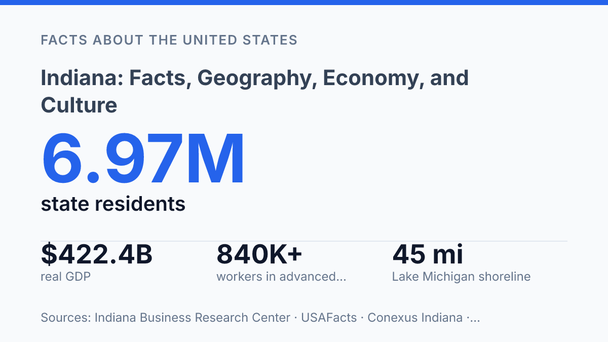
Indiana occupies just 35,825.1 square miles of land, yet its factories, freight networks, and 45 miles of Lake Michigan shoreline give it a larger role than its size suggests. The shoreline is short by Great Lakes standards, but it helps supply drinking water to about 500,000 residents and ties the state to regional trade, energy, and environmental systems. Inland, the picture is equally specific: forests cover roughly 21% of the land, while agricultural acreage has declined as residential growth spreads around metropolitan areas.
The state’s economy shows the same mix of scale and compression, with manufacturing contributing $114.6 billion to real GDP in 2025. Its population is also changing, driven in part by international migration and visible in Indianapolis, where more than 18% of residents age 5 and older speak a language other than English at home. Those contrasts make the state a useful case study in Midwestern geography, industry, and social change.
Where Indiana sits and what shapes its geography
A shoreline of just 45 miles is enough to give the state a Great Lakes outlet, a freshwater supply corridor, and a northern edge that differs sharply from its interior farm country. Its borders place it between Michigan to the north, Ohio to the east, Kentucky to the south across the Ohio River, and Illinois to the west, with access to Lake Michigan concentrated in the northwest. According to the U.S. Census Bureau ACS, in 2024 the state had 35,825.1 square miles of land and 596.1 square miles of water, making it the 37th-largest state by area.
The northern lakefront is the state’s most distinctive physical contrast to the common shorthand of flat farmland. The Indiana Dunes on Lake Michigan mark a zone of sand ridges, beaches, wetlands, and wooded areas formed by lake and wind processes, creating a natural boundary between the shore and the inland plain. That setting also helps explain why the northwest corner developed as both a transportation and industrial corridor: it connects inland routes with Great Lakes shipping while retaining a rare dune-and-lake environment.
River systems give the interior and southern parts of the state more variation than a surface map might suggest. The Wabash River runs through much of the state and forms part of the western boundary with Illinois before joining the Ohio River system, making it one of the major geographic lines shaping drainage, floodplains, settlement patterns, and agricultural land. Central areas are generally lower-relief and well suited to broad field agriculture, while southern counties include more rolling terrain, wooded hills, and river valleys.
The practical center of this physical layout is Indianapolis, the state capital and central hub. Its location near the middle of the state has made it a focal point for highways, distribution routes, government, and regional services. Geography therefore helps explain both the state’s agricultural base and its transport orientation: farmland dominates much of the interior, but the lakefront, dunes, rivers, and central crossroads create a more varied physical framework than the simplest Midwestern stereotype allows.
How the state’s economy is built
Manufacturing generated $114.6 billion of state GDP in 2025, more than any other industry, according to USAFacts using U.S. Bureau of Economic Analysis data. That scale reflects a broad production base rather than a single factory type: motor vehicles and parts anchor many communities, steel production is concentrated around the northwest industrial corridor, and machinery, engines, and industrial equipment support both domestic supply chains and export markets. Cummins represents the state’s strength in engines and power systems, while Eli Lilly shows how advanced production also extends into pharmaceuticals and life sciences, not only traditional heavy industry.
Farm output adds a second goods-producing pillar, especially through corn and soybeans. The state is consistently among the leading U.S. farm states because its climate, soils, and processing networks support large-scale row-crop agriculture. Those crops do not stand apart from the industrial economy; they feed grain handling, food processing, biofuels, animal feed, farm machinery, and trucking activity, linking rural counties to manufacturing and distribution centers.
Location turns that production base into a logistics advantage. Interstate highways connect factories, farms, warehouses, and metropolitan markets, while rail corridors support bulk freight and long-distance movement of finished goods and industrial inputs. The Ports of Indiana system extends that network to waterborne shipping, giving manufacturers and commodity handlers another route for steel, grain, fertilizer, coal, and project cargo.
This structure gives the economy unusual industrial depth for a state of its size, but it also creates exposure to cyclical pressure. When vehicle demand softens, steel orders fall, interest rates affect equipment purchases, or crop prices weaken, the effects can spread through suppliers, freight firms, and local tax bases. The same networks that make production efficient can transmit downturns quickly, which is why manufacturing diversity, research-intensive employers, and logistics capacity all matter to long-term resilience.
People, cities, and daily life
Recent population growth is no longer explained only by births or movement from nearby states: the state added 38,579 residents in 2025, and net international migration accounted for about 46% of that increase, according to the Indiana Business Research Center. That shift helps explain why demographic change is most visible in larger urban counties, even while many smaller communities remain closely tied to long-established local networks, schools, churches, county fairs, and high school sports calendars.
Indianapolis remains the largest population center, with an estimated 901,116 residents in 2025, according to U.S. Census Bureau QuickFacts. The same source reports that, in 2020–2024, 12.7% of city residents were foreign-born and 18.3% of residents age five and older spoke a language other than English at home. Those figures make the city a useful marker of how urban life in the state differs from the image of a uniformly small-town Midwestern society.
Fort Wayne and Evansville are also major population centers, but their civic identities are shaped at a different scale than the state’s largest city. Fort Wayne functions as a northeastern urban anchor with its own civic institutions, neighborhoods, and regional service role. Evansville, in the southwest, has a distinct metropolitan identity that reflects its distance from the central part of the state and its role as a local cultural and institutional center.
Higher education is another visible part of public life. Purdue University and Indiana University are major institutions with influence beyond enrollment, shaping research, professional training, athletics, alumni networks, and local identity in their home communities. Their reputations also give the state nationally recognized reference points that are not limited to politics or industry.
Public recognition is strongly shaped by a small number of symbols, especially the Indianapolis 500 and basketball culture. The motor race is more than an annual sporting event; it is a civic ritual tied to the state’s public image and to how outsiders often recognize Indianapolis.
Basketball has a similar identity-making role, particularly through high school traditions and college rivalries, where local pride, community memory, and statewide visibility intersect. Yet everyday life varies widely between the largest metro area, smaller cities, and rural counties, so these signature institutions define recognition more than they fully describe daily experience across 6.97 million residents.
What makes Indiana distinctive among Midwestern states
Few Midwestern states have a public motto that describes a function as directly as Crossroads of America describes the state’s role in moving people and goods. Adopted as the official state motto in 1937, the phrase reflects the convergence of interstate highways, rail corridors, and freight routes that make the state a practical connector between the Great Lakes, the Ohio Valley, and larger metropolitan markets to the east and west. That identity is geographic, but it is also operational: according to Conexus Indiana, advanced manufacturing and logistics accounted for 25% of all state jobs in 2025, which helps explain why the motto still fits modern economic activity rather than serving only as a historical slogan.
Comparison with nearby states clarifies the distinction. Illinois is often defined regionally by the scale and influence of Chicago, while Michigan’s identity is more strongly tied to the Great Lakes and the automotive industry.
Ohio, by contrast, has several large urban centers, including Columbus, Cleveland, and Cincinnati, which give it a more multipolar profile. The state between them is easier to identify by connective function: its position makes it a pass-through state, a production state, and a distribution state at the same time.
Symbols and nicknames reinforce that practical identity without reducing it to transportation alone. The “Hoosier State” remains the most familiar informal label, and “Hoosier” functions as both a demonym and a cultural marker. Official symbols such as the cardinal as state bird, the peony as state flower, and the tulip tree as state tree add conventional identifiers, but the more distinctive public image comes from the pairing of civic language with everyday infrastructure.
The result is a Midwestern profile built from combination rather than singularity. The state lacks the dominant global city association of Illinois, the lake-and-auto shorthand of Michigan, and the three-city balance often associated with Ohio. Its recognizable character instead comes from the overlap of central location, goods-producing capacity, transport orientation, and a civic vocabulary that makes “Hoosier” immediately legible across the region.
Why the state’s capacity matters more than its size
The next questions facing the state are less about identity than capacity. A place built on farms, factories, roads, rail, and a small but strategic Great Lakes edge must manage growth without treating land, water, and labor as fixed background conditions. The 345,682-acre decline in agricultural land from 2010 to 2022 shows that development choices are already reshaping the map, while migration is reshaping the workforce and local institutions.
If manufacturing and logistics remain central, future competitiveness will depend as much on housing, water planning, education, and transportation reliability as on industrial output itself. The practical measure will be whether growth strengthens the systems that made the state productive in the first place.
Frequently Asked Questions
Q: What is Indiana known for geographically?
A: Indiana is part of the Midwestern United States and is bordered by Michigan, Ohio, Kentucky, and Illinois. Its terrain is mostly flat to gently rolling, with more varied landforms in the southern part of the state. The northern region also includes access to Lake Michigan, which affects climate, transportation, and commerce.
Q: What are the biggest industries in Indiana?
A: Indiana’s economy is strongly tied to manufacturing, agriculture, and logistics. The state has long produced automobiles, steel, pharmaceuticals, and food products, while its fertile farmland supports crops such as corn and soybeans. Its central location also makes it an important distribution hub for goods moving across the country.
Q: What is the population and capital of Indiana?
A: Indiana’s capital and largest city is Indianapolis, which serves as the state’s political and economic center. The state has a population of more than 6 million residents, making it one of the more populous Midwestern states. Population is concentrated in the Indianapolis area, northwest Indiana, and several other urban corridors.
Q: What cultural traditions is Indiana associated with?
A: Indiana is often associated with basketball, motorsports, and small-town civic culture. The Indianapolis 500 is one of the state’s most recognizable events and has helped make auto racing a defining part of Indiana’s public identity. Local festivals, county fairs, and college sports also play a significant role in community life.
Q: What climate does Indiana have?
A: Indiana has a humid continental climate, which brings cold winters, warm to hot summers, and a wide seasonal range in weather. Northern areas tend to feel the influence of the Great Lakes, while southern Indiana is generally a bit milder and wetter. This variation affects farming, outdoor activities, and travel patterns across the state.