
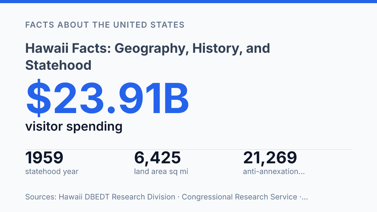
Hawaii sits about 2,400 statute miles from San Francisco, yet its land area is only 6,425 square miles spread across 8 major islands and 124 named islets. That contrast between distance and scale explains much of what makes the state politically, economically, and culturally distinct. The islands occupy the youngest end of a volcanic chain of more than 125 volcanoes stretching across the North Pacific, so geography is not background here; it is the force that made the archipelago and still shapes its risks and resources. The history is equally specific.
Kamehameha I united the islands in 1810, U.S. recognition of Hawaiian independence came in 1826, annexation followed in 1898, and statehood arrived only in 1959. The facts that matter are not isolated trivia. They show how remoteness, contested sovereignty, language, and tourism connect in one of the most unusual state profiles in the United States.
Where the islands sit in the Pacific
No other U.S. state is so physically detached from North America: the State of Hawaiʻi Department of Budget and Finance describes an island group of eight major islands, seven inhabited, 124 named islets, 6,425 square miles of land area, and a location about 2,400 statute miles from San Francisco. That distance is not a cartographic footnote; it shapes shipping, air travel, emergency planning, food costs, and infrastructure maintenance in ways mainland states do not face at the same scale.
From kingdom to U.S. territory
The decisive rupture in Hawaiian political history came with the 1893 overthrow of Queen Liliʻuokalani, because it severed a recognized monarchy before the United States formally annexed the islands. The kingdom had been consolidated decades earlier under King Kamehameha I, who united the islands in 1810; the U.S. later signed a treaty recognizing Hawaiian independence on December 23, 1826, according to the U.S. Office of the Historian.
That sequence matters because the kingdom was not an unorganized possession awaiting foreign administration. It was a sovereign political order displaced through a contested transfer of power.
What changed with statehood in 1959
The decisive statehood ballot was less a close constitutional choice than a mandate: on June 27, 1959, island voters approved immediate admission by 132,773 to 7,971, according to the Congressional Research Service via Congress.gov. President Dwight D. Eisenhower then signed the admission proclamation, and the islands entered the Union as the 50th state on August 21, 1959. The date matters because it ended territorial government and marked the final addition to the United States in the twentieth century.
Political status changed most visibly in Congress. As a territory, the islands had only one non-voting representative in the U.S. House, according to the National Archives; after admission, residents gained voting representation in the House and two seats in the Senate.
The first two senators, Hiram Fong and Oren Long, were seated after statehood in 1959, according to the U.S. Senate. That shift changed the state’s ability to affect appropriations, defense policy, transportation law, and federal programs that had long shaped island life without equal congressional voting power.
Statehood also reset the relationship between local and federal authority. Territorial rule had placed local institutions under a framework created by Congress; statehood gave the new state the ordinary constitutional powers reserved to states, including elected statewide leadership and a legislature operating under a state constitution.
Federal power did not recede from every major issue. Defense, federal lands, maritime policy, and national funding streams remained powerful forces, but the local government now negotiated within the federal system as a state rather than as a dependency.
Economic and population patterns shifted in the same period, though statehood was an accelerator rather than the single cause. Air travel, visitor infrastructure, and mainland investment strengthened tourism as a dominant source of jobs and revenue. Military spending continued to anchor employment and federal construction, while migration from the mainland deepened commercial, political, and cultural ties to the rest of the country.
These gains carried costs: rising land demand, pressure on local communities, and renewed disputes over sovereignty, public land, and cultural protection. Statehood brought fuller representation, but it did not settle the deeper historical questions that still shape public life.
Culture, language, and the modern economy
A state can make an Indigenous language official and still face the harder task of rebuilding the daily institutions that keep it alive. English and Hawaiian have shared official status since the constitutional changes approved on November 7, 1978, according to the Hawaiʻi State Legislature, but legal recognition was only one part of a wider cultural recovery.
The revival of ʻŌlelo Hawaiʻi has depended on immersion schools, university programs, public signage, media, and family-level language transmission. That matters because language policy here is not symbolic ornament; it is a mechanism for restoring cultural authority in education, place names, ceremony, and public life.
The state’s multilingual reality extends beyond the two official languages. U.S. Census Bureau QuickFacts reports that 24.7% of residents age five and older spoke a language other than English at home in 2020–2024.
This figure reflects migration, intermarriage, plantation-era labor history, and continuing Pacific and Asian connections, so cultural identity cannot be reduced to a single heritage narrative. The practical consequence is a public culture in which Hawaiian traditions, Asian American communities, Pacific Islander ties, and U.S. institutions operate side by side, sometimes reinforcing one another and sometimes competing for space and resources.
Tourism supplies the clearest economic measure of that tension. Visitor-related spending reached $23.91 billion in 2024, while direct and indirect tourism impacts accounted for 16.1% of statewide GDP and supported 170,328 jobs, according to the state DBEDT Research Division.
Waikīkī remains the best-known concentration of hotels, retail, and visitor services, while the visitor economies on Oʻahu and Maui shape employment, transportation, land values, and small-business activity. The 2023 Maui wildfires exposed the vulnerability built into this model: when disaster struck, tourism was both an economic lifeline and a source of pressure on recovery, housing, and community control over place.
Defense is the other major institutional force shaping the modern economy. Pearl Harbor, Schofield Barracks, and Joint Base Pearl Harbor-Hickam anchor a large federal presence that supports civilian jobs, contracting, infrastructure, and strategic investment.
Those benefits are substantial, but they sit within the same land-use pressures created by tourism and limited island space. The modern state is therefore not defined by beaches alone; it is defined by the negotiation between cultural preservation, visitor demand, military strategy, and the everyday cost of living.
Why distance still explains the stakes
The strongest reading of these facts is that Hawaii cannot be understood through a single label: island chain, former kingdom, U.S. state, tourist economy, or Indigenous homeland. Each label is accurate, but each becomes misleading when separated from the others. Statehood gave residents voting representation in Congress, but it did not erase the political weight of annexation or the cultural significance of Hawaiian language recognition in 1978.
The visitor economy brings measurable income and employment, yet its scale also means outside demand has unusually direct effects on local life. The practical next step is to treat any statistic about the state as part of a system shaped by distance, sovereignty, and dependence on movement across the Pacific.
Frequently Asked Questions
Q: Why is Hawaii geographically unique compared with other U.S. states?
A: Hawaii is the only U.S. state made up entirely of islands, and that geography shapes everything from climate to transportation. Its isolation in the central Pacific also explains why many native species are found nowhere else. The result is a state with unusual ecological diversity and high dependence on air and sea links to the mainland.
Q: How were the Hawaiian Islands formed?
A: The islands were formed by volcanic activity over a hotspot deep beneath the Pacific Plate. As the plate moved, new volcanoes emerged and older islands drifted away from the source of magma. That process produced the island chain and explains why the southeastern islands are the most geologically active.
Q: When did Hawaii become a U.S. state?
A: Hawaii became the 50th U.S. state in 1959. Statehood followed a long period of territorial governance after the islands were annexed by the United States. The change gave Hawaii full federal representation and permanently altered its political status.
Q: What is the historical significance of the Hawaiian Kingdom?
A: The Hawaiian Kingdom was a sovereign monarchy before the overthrow of Queen Liliʻuokalani in 1893. That event remains central to modern Hawaiian history because it marked the end of independent rule and the start of American control. Any serious account of Hawaii’s past must treat that political transition as decisive.
Q: Why does Hawaii have such a strong cultural identity?
A: Hawaii’s cultural identity is rooted in Native Hawaiian traditions, later shaped by immigration from Asia, Europe, and the Americas. The islands’ relative isolation helped preserve language, ceremony, and land-based customs even as outside influences grew. That mix explains why Hawaii’s culture is both distinct and historically layered.