
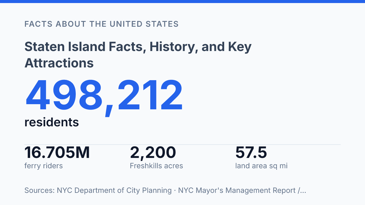
Staten Island covers 57.5 square miles, yet many of its daily patterns resemble an outer suburb more than the dense city across New York Harbor. The contrast is visible in the numbers: Richmond County had 498,212 residents in July 2024, while the free ferry carried 16.705 million riders in FY2025, linking a car-oriented borough to Lower Manhattan without a fare. Its identity also rests on older boundaries and newer shifts.
Richmond County dates to 1661, the borough joined consolidated New York City in 1898, and its foreign-born population rose from 96,626 to 125,138 between 2013 and 2023. Those facts help explain why the place can feel familiar and distinct at once, with historic towns, shoreline parks, industrial edges, and changing neighborhoods forming a borough that resists simple comparison.
Where Staten Island sits and what defines it
Staten Island is the only New York City borough that is also physically detached from the city’s four-borough mainland-and-Long Island cluster, a separation that strongly shapes its land use and identity. Administratively, it is one of New York City’s five boroughs and is coextensive with Richmond County, meaning the borough and county cover the same territory for local-government and statistical purposes. That dual status places it inside city governance while preserving a county name still used in courts, records, and demographic data.
Geographically, the borough occupies the southwestern part of New York Harbor. Manhattan lies across Upper New York Bay to the northeast, Brooklyn sits across The Narrows to the east, and New Jersey borders the island across tidal waterways to the north and west. Those water boundaries make the borough part of the harbor system rather than an inland extension of the city, which helps explain why access, commuting, and development patterns have long differed from denser parts of New York.
The island’s scale is also unusual within the city. With 57.5 square miles of land area, it has room for lower-density housing, shorefront districts, large parks, industrial edges, and neighborhood centers that are more spread out than those in Manhattan or much of Brooklyn. Recent population figures show that this space is not static: the borough reached 498,212 residents in July 2024, adding 3,438 people, or 0.7%, from the prior year, according to the NYC Department of City Planning.
This combination of city status, harbor separation, and comparatively expansive land area defines the borough’s public perception. It is legally and politically part of New York City, but its island setting, residential fabric, and physical distance from the urban core give it a distinct spatial character within the five-borough system.
How the borough developed over time
The borough’s current name masks a layered civic history in which Dutch, English, county, town, and city identities all left durable traces. European colonization began under Dutch authority as part of New Netherland, but English control replaced Dutch rule after the 1664 takeover of that colony. That shift tied the island more firmly to the English colonial system that shaped New York’s later counties, landholding patterns, and local government structures.
Older local identity did not disappear when the island became part of the expanding city. A State of New York county profile traces the county framework to 1661, when Richmond County was founded, and that name remained central for centuries in courts, records, and civic administration. The persistence of the county name helps explain why legal and governmental references can still differ from everyday borough usage.
The decisive modern change came with the consolidation of New York City in 1898, when the island’s towns were absorbed into the newly enlarged municipality and it became one of the city’s five boroughs. Consolidation linked local governance to citywide institutions, but it did not erase older settlement patterns or neighborhood names. The result was a borough identity shaped by New York City membership while still carrying local markers that predated consolidation.
A later naming change clarified public usage without fully replacing the older official terminology. In 1975, the borough name in common civic use changed from Richmond to Staten Island, aligning municipal identity with the island name most residents and outsiders recognized. Richmond County, however, continued to be used in official contexts, especially where New York State county designations, courts, and legal records are involved.
Neighborhoods, parks, and places visitors notice
The borough’s most recognizable public geography is split between a North Shore civic corridor and a wooded interior whose Greenbelt is larger than many stand-alone city parks. The Staten Island Greenbelt covers about 2,800 acres, according to NYC Parks, and links major interior preserves and recreation areas such as High Rock Park, LaTourette Park, and Willowbrook Park. Its scale gives the borough a public-space profile that is less centered on a single landmark park and more on a connected system of trails, wetlands, woodlands, golf courses, and neighborhood edges.
St. George functions as the main civic and arrival point rather than simply as another residential neighborhood. Its role is anchored by the Staten Island Ferry terminal, with nearby government buildings, courts, cultural venues, and waterfront redevelopment placing many public-facing institutions within a compact North Shore district. This concentration helps explain why visitors often encounter the borough first through St. George, even though much of local daily life takes place in quieter residential areas farther inland and south.
Cultural visitation is also strongly associated with the North Shore. Snug Harbor Cultural Center occupies a former sailors’ retirement complex and now brings together gardens, performance spaces, historic buildings, and arts organizations on a large campus. The Staten Island Museum, with collections spanning natural science, art, and local history, adds a more traditional museum anchor to the same broad cultural corridor.
The park story is not limited to the Greenbelt. Freshkills Park is a 2,200-acre landfill-to-park project, described by the Freshkills Park Alliance as the largest undertaking of its kind in the world; North Park Phase 1 opened in 2023, with full buildout targeted for 2036. Taken together, these places show a borough whose best-known public spaces are concentrated in two patterns: institutional and cultural sites along the North Shore, and large open-space systems across the interior and western parklands.
Transit links, population, and why it feels different
A free ferry carried 16.705 million riders in FY2025, making waterborne travel a core mobility link rather than a visitor-only experience. The Staten Island Ferry connects the borough with Lower Manhattan at no fare, and NYC Department of Transportation figures in the Mayor’s Management Report put its on-time performance at 94.9% for that fiscal year. The same report listed an operating cost of $12.01 per passenger trip, a reminder that “free” describes the rider experience rather than the public cost of running frequent harbor service.
Road access is organized around the Verrazzano-Narrows Bridge, the principal vehicular connection to Brooklyn and the rest of the city’s road network. That link gives the borough a direct highway relationship with the other boroughs, while the absence of a direct subway connection to Manhattan or Brooklyn shapes daily travel in a different way. Commuting patterns therefore rely more heavily on ferry transfers, express buses, local buses, private vehicles, and bridge crossings than in boroughs where multiple subway trunk lines structure development.
Population scale helps explain why the built environment feels different. The 2020 Census counted 495,747 residents in Richmond County, and Census Bureau density data placed it at about 8,600 residents per square mile, while every other New York City borough exceeded 20,000 residents per square mile. This gap is not simply a matter of total population; it reflects a development pattern with more low-rise housing, larger residential lots in many areas, and fewer high-density transit corridors than are typical in Manhattan, Brooklyn, the Bronx, or Queens.
Recent Census data also show a borough that is not static. The U.S. Census Bureau’s 2024 ACS estimates 172,269 households, while NYC Planning’s newest immigrant analysis found that the foreign-born share rose from 20.4% in 2013 to 25.5% in 2023. Those demographic shifts sit alongside a transportation structure that remains unusually dependent on a ferry terminal, a major bridge, and road-based commuting, helping distinguish the borough within New York City without separating it from the city’s economic and civic life.
What the borough’s next chapter depends on
The most revealing question now is not whether the borough fits the usual idea of New York City, but how public investment adapts to its different pattern. Freshkills Park will not be fully built out until 2036, ferry operations already cost $12.01 per passenger trip in FY2025, and long commutes remain common in some neighborhoods.
Those figures point to a practical planning issue: growth, access, and open space are connected here more visibly than in denser boroughs. If population change continues and former industrial land keeps being reclaimed, the borough’s difference will matter less as a curiosity and more as a test of how New York manages places that are urban, suburban, coastal, and still changing.
Frequently Asked Questions
Q: Why is Staten Island considered different from the other New York City boroughs?
A: Staten Island is the least densely populated of New York City’s five boroughs, which gives it a more suburban character than Manhattan, Brooklyn, or the Bronx. Its geography, with extensive waterfront and protected parkland, also shapes its development and land use. These factors help explain why it is often described as quieter and less built-up than the city’s other boroughs.
Q: What is Staten Island best known for?
A: Staten Island is known for its ferry connection to Lower Manhattan, its shoreline views, and its large parks and green spaces. Historic districts, museums, and waterfront recreation are also central to its identity. The borough combines residential neighborhoods with cultural and natural attractions that draw both commuters and visitors.
Q: How do people get to Staten Island from Manhattan?
A: The Staten Island Ferry is the most recognized route, linking St. George and Lower Manhattan with regular service. It is widely used by commuters and visitors because it offers direct access without a fare. Other travel options include bridges, local roadways, and regional transit connections.
Q: What are the main attractions to visit on Staten Island?
A: Popular sites include the Staten Island Ferry terminal area, Snug Harbor Cultural Center, and several waterfront parks with views of New York Harbor. Historic Richmond Town is another major destination because it preserves buildings and exhibits tied to the borough’s past. These attractions reflect both the island’s cultural history and its natural setting.
Q: Does Staten Island have a strong historical background?
A: Yes, Staten Island has a long colonial and early American history that is reflected in preserved buildings, museums, and historic neighborhoods. Its development was shaped by maritime trade, immigration, and its role within New York City’s growth. That history remains visible in local landmarks and community institutions.