
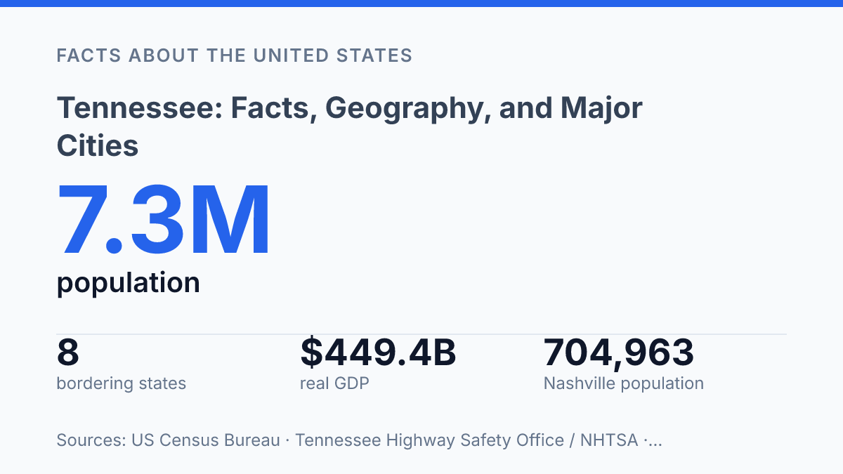
Tennessee borders eight states and contains more than 1,062 miles of navigable waterways, a combination that helps explain why its geography, cities, and economy are so closely tied to movement. Across 42,146 square miles, the state includes 11 physiographic provinces, from the Mississippi River lowlands to the Appalachian highlands, making regional differences a central part of any accurate profile. Recent figures add another layer: the population reached an estimated 7,315,076 in 2025, while Nashville-Davidson, Memphis, Knoxville, Chattanooga, and Clarksville all remain major urban centers with distinct roles.
The state’s economy reflects the same mix of concentration and spread, with professional and business services, manufacturing, tourism, and rural investment all shaping public life. The following sections connect location, natural systems, settlement patterns, economic activity, and civic identity to show how the state functions as both a regional crossroads and a place with sharply defined local character.
Where Tennessee is located and what borders it
Only one U.S. state touches as many as eight states, a fact that makes this long, narrow state unusually easy to locate by its neighbors. Tennessee is in the southeastern United States, but its map position is not confined to a single regional frame: the eastern end reaches into the Appalachian highlands, the middle crosses the Central interior, and the western edge meets the Mississippi Valley.
Its borders form a compact geography lesson in their own right. Kentucky and Virginia lie to the north and northeast, while North Carolina sits along the eastern mountain boundary.
Georgia, Alabama, and Mississippi line the southern side, and Arkansas and Missouri meet the state across its western river boundary. According to Tennessee Highway Safety Office / NHTSA, FY, the state borders North Carolina, Virginia, Kentucky, Georgia, Alabama, Mississippi, Missouri, and Arkansas, covers 42,146 square miles, and has more than 1,062 miles of navigable waterways.
The state’s east-to-west shape helps explain why a simple southeastern label is accurate but incomplete. The Appalachian end has stronger geographic ties to the upland South, the middle section functions as a broad interior corridor, and the western edge is closely connected to the Mississippi River region. This arrangement places the state at a meeting point of mountain, inland, and river-valley geography rather than within a single uniform zone.
Natural regions, rivers, and climate patterns
The contrast between the Appalachian highlands and the Mississippi River plain is sharp enough that the state’s Grand Divisions describe real physical differences, not just regional labels. East Tennessee is dominated by the Appalachian Mountains, the Great Valley, and upland river corridors, giving it steeper slopes, higher elevations, and a cooler mountain influence.
Middle Tennessee is centered on basins and rolling uplands, including the Cumberland Plateau along its eastern side, where terrain helps separate the higher east from the lower central interior. West Tennessee becomes progressively flatter toward the Mississippi embayment, where broader floodplains and lower relief support different land uses than the hillier eastern and central regions.
Natural diversity is unusually compressed across this range. The Tennessee Department of Environment and Conservation’s Natural Areas inventory identifies 11 physiographic provinces represented across the state as of 2026, a high number for a state of its size. That variety helps explain why forests, coves, limestone basins, plateau country, and river lowlands can all appear within one statewide map while still functioning as distinct environmental settings.
River systems reinforce these regional differences. The Tennessee River drains large portions of the eastern and central parts of the state and has long shaped valleys, transportation routes, reservoirs, and settlement patterns.
Farther west, the Mississippi River forms a major lowland system with broad alluvial soils and floodplain conditions that differ markedly from the uplands to the east. Together, these rivers connect interior terrain with larger regional water networks while also creating local differences in agriculture, infrastructure, and flood exposure.
The climate is generally humid subtropical, with warm summers, mild to cool winters, and precipitation in all seasons. Elevation and position within the state modify that pattern: eastern mountain areas are generally wetter and cooler, while the western lowlands tend to be warmer and drier by comparison. The Tennessee Climate Office at East Tennessee State University reported that most of the state averaged 1 to 2°F above the 1991–2020 NOAA climate normals in its 2025 annual summary, a recent signal that fits broader warming conditions while still leaving local terrain as a major influence on day-to-day weather.
Population centers and statewide economy
The five largest cities alone account for roughly a quarter of the state’s residents, based on recent Census-derived estimates, but the main urban economy is anchored by four long-established centers: Nashville, Memphis, Knoxville, and Chattanooga. Nashville-Davidson remained the largest city in 2024 at 704,963 residents, according to USAFacts data based on the U.S. Census Bureau Population Estimates Program, followed by Memphis at 610,919. Knoxville and Chattanooga were smaller but still central to the eastern half of the state, with estimated populations of 198,722 and 191,496, respectively.
Population growth is a current statewide trend rather than a static condition. The U.S. Census Bureau’s QuickFacts estimated 7,315,076 residents as of July 1, 2025, up 5.8% from the April 2020 estimates base. That increase indicates steady growth over the first half of the decade, with expansion shaped by metropolitan job markets, suburban growth, and continued movement into mid-sized communities.
The economy is broad, but several sectors define its public profile and employment base. Healthcare is especially associated with Nashville, where hospital systems, health services firms, and related corporate operations form a major business cluster. Music and entertainment also remain economically significant there, not only through performance and recording, but through publishing, management, touring, and media services.
Manufacturing and freight activity connect the major cities to smaller counties. Automotive manufacturing and supplier networks have become important in multiple regions, while Memphis is strongly tied to logistics because of its freight, distribution, and air-cargo infrastructure. Statewide output reflects that mix: USAFacts, using U.S. Bureau of Economic Analysis data, reported real GDP of $449.4 billion in 2025, with professional and business services and manufacturing among the largest industry contributors.
Urban concentration does not mean rural areas are peripheral to the economy. The Tennessee Department of Economic and Community Development reported that 2024 project commitments placed 53% of promised jobs and 79% of capital investment in rural areas. That pattern shows how agriculture, manufacturing sites, warehousing, and transportation corridors continue to link smaller counties to the state’s larger economic system.
State symbols, landmarks, and public identity
A single park in the Smokies drew about 12.2 million visits in 2024, according to the National Park Service, making Great Smoky Mountains National Park one of the state’s strongest public symbols as well as a major tourism anchor. The same NPS release estimated that park visitors spent more than $2 billion in nearby communities and supported more than $2.8 billion in total local economic benefit, which helps explain why mountain scenery is central to the state’s national image rather than merely a regional feature.
Nashville is the state capital and, in the most recent municipal estimates, the largest city, while also anchoring one of its most recognized metropolitan areas. Its civic role gives the capital a public profile that extends beyond government, especially because the city is closely associated with recording, performance, and country music institutions. That association shapes how the state is often understood from outside, but it does not fully define the state’s identity.
Graceland in Memphis adds a different kind of national recognition. As the former home of Elvis Presley and a National Historic Landmark, it connects the state’s public image to popular music history, heritage tourism, and twentieth-century American culture. Placed beside the Smokies, Graceland shows how the state’s best-known landmarks draw from both cultural memory and natural scenery.
Official symbols give that image a more formal civic frame. The nickname “The Volunteer State” is the most widely recognized example, while the state flag’s three stars represent the three grand divisions in a compact visual form. Together, these symbols and landmarks point to a public identity built from several sources at once: capital-city prominence, music heritage, mountain tourism, and a durable language of regional unity and civic pride.
What the state’s connected patterns point to next
The most useful way to read the state’s facts is as a set of linked pressures rather than isolated trivia. Population growth raises the stakes for housing, transportation, water management, and land conservation, while the 2025 climate anomaly of 1–2°F above NOAA normals suggests that planning assumptions may need steady review. Economic data points in a similar direction: growth is not confined to one metro area, especially when rural projects account for a large share of recent capital investment.
Landmarks such as Great Smoky Mountains National Park will keep shaping public identity, but their practical significance is also economic and environmental. The state’s next chapter will depend on how well its cities, rivers, rural counties, and natural regions are managed as one connected system.
Frequently Asked Questions
Q: What is Tennessee best known for?
A: Tennessee is widely known for its role in American music, especially country, blues, and rock and roll. The state is also associated with major cities such as Nashville and Memphis, which have strong cultural, economic, and historical significance.
Q: Which cities are the largest in Tennessee?
A: Nashville and Memphis are the two largest cities in Tennessee by population and are the state’s best-known urban centers. Knoxville, Chattanooga, and Clarksville are also important cities with distinct regional roles in education, transportation, and industry.
Q: What region of the United States is Tennessee in?
A: Tennessee is located in the southeastern United States and is often grouped with the South in regional classifications. Its position gives it connections to both Appalachian and Mississippi Valley geography.
Q: What natural features is Tennessee known for?
A: Tennessee has a varied physical geography that includes mountains in the east, rolling central terrain, and river systems in the west. The eastern part of the state includes the Appalachian range, while the Mississippi River forms part of the western boundary.
Q: Why is Nashville important to Tennessee?
A: Nashville is the state capital and one of Tennessee’s largest cities, which makes it central to both government and population distribution. It is also a major center for music, education, and healthcare, giving it an outsized influence on the state’s economy and identity.