
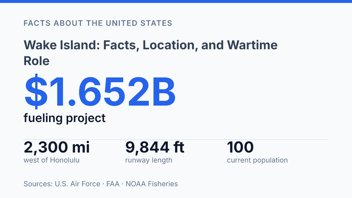
Wake Island is more accurately Wake Atoll: a U.S.-controlled group of three small islands, covering about 1,821 acres, roughly 2,300 miles west of Honolulu. That scale explains much of its unusual profile. It is tiny in land area, remote by any commercial measure, and yet large enough to hold a 9,844-foot runway, a shallow lagoon, wartime ruins, and new military fuel infrastructure.
The name also creates confusion because Wake, Wilkes, and Peale form the atoll, while “Wake Island” is often used as shorthand for the whole place. Its modern population is fewer than 100 personnel, contractors, and civilian employees, far below the more than 2,000 people who once lived or worked there. The atoll’s significance comes from that contrast: a small coral formation with an outsized role in Pacific geography, World War II history, and current U.S. military logistics.
Where Wake Island sits and what it is
Wake Atoll is more than 2,000 miles from Honolulu, yet it is administered as a U.S. possession rather than as a state, county, or municipality. It lies in the central Pacific Ocean between Hawaii and Guam, a position that makes it remote from major population centers while still sitting along a broad trans-Pacific corridor. That combination of isolation and placement is central to understanding why the atoll has had outsized practical importance despite its small size.
According to the U.S. Air Force / AFCEC, Wake Atoll covers about 1,821 acres, sits about 2,300 miles, or 3,700 kilometers, west of Honolulu, and consists of three islands: Wake, Wilkes, and Peale, arranged around a shallow lagoon. The name Wake Island is often used casually for the whole place, but the fuller geographic description is more precise because the land is not a single continuous island.
Politically, Wake is an unincorporated territory of the United States, meaning it is under U.S. sovereignty but is not part of any state. Its administration is assigned to the U.S. Air Force, reflecting the atoll’s function as a military-controlled site rather than a conventional civilian community. This status can be easy to misread because the location has a familiar U.S. name and infrastructure, yet it does not operate like an ordinary American town with local elected government and a broad resident population.
The physical scale reinforces that distinction. A small land area, oceanic isolation, and military administration limit routine civilian presence, while the central Pacific location gives the atoll operational significance far beyond what its acreage suggests. In geographic terms, Wake is best understood as a compact U.S.-administered atoll whose value comes from position as much as from landmass.
Why the island mattered in World War II
Wake became famous less because it could alter Japan’s offensive timetable than because an isolated garrison resisted an enemy force large enough to make surrender appear likely from the start. The Japanese attack on 8 December 1941 came at the opening of the Pacific War for the United States, only hours after the assault on Pearl Harbor by local calendar. The National WWII Museum notes that Wake received warning at about 6:40 a.m. on 8 December because it lay west of the International Date Line, a detail that explains why the attack is dated one day later than Pearl Harbor in Hawaii.
The defense rested on a small combined force of Marines, Navy personnel, and civilian workers rather than on a large permanent base. According to the Naval History and Heritage Command, nearly 449 Marines were involved in the defense, alongside 68 Navy personnel and 1,146 civilians. Before the surrender on 23 December 1941, the defenders damaged Japanese forces, absorbed repeated air and naval attacks, and held out long enough for the episode to draw attention far beyond its immediate military value.
That scale mismatch shaped the island’s later reputation. The garrison could not be reinforced in time, and the position was too isolated to be held indefinitely once Japanese forces committed to taking it. Yet those limits made the defense more symbolic, not less: it showed early resistance at a moment when U.S. forces across the Pacific were suffering severe reverses.
After the surrender, Japan occupied the island and held it until 4 September 1945, when the Japanese garrison formally surrendered, according to the Naval History and Heritage Command. The Battle of Wake Island remained prominent in early Pacific war memory because it combined timing, isolation, and disproportional odds in a compact episode. Its strategic effect was limited, but its symbolic value endured as one of the first widely recognized examples of U.S. resistance after the war began in the Pacific.
How Wake Island is used today
A 9,844-foot runway, not a town, is the feature that explains Wake’s current use. Wake Island Airfield, listed by the FAA as PWAK/AWK, has a single asphalt runway measuring 9,844 feet by 150 feet, and all aircraft require prior permission at least 24 hours before arrival, according to FAA data from 2025. That rule reflects the atoll’s function as a controlled operating site rather than a public destination or civilian settlement.
The present population is small and work-based. NOAA Fisheries reported in 2025 that Wake now has approximately 100 people, while a 2024 U.S. Air Force Civil Engineer Center assessment described the base population as fewer than 100 Air Force personnel, contractors, and civilian employees. There is no permanent civilian town, normal tourism market, or open-entry travel system; access is tied to official requirements, aircraft clearance, and operational support.
Modern activity centers on aviation support, fuel, and sustainment. During Valiant Shield 2024, for example, DVIDS reported that two C-130J Super Hercules aircraft without external fuel tanks made an added fuel stop at Wake while two tank-equipped aircraft completed a longer maximum-endurance flight to Guam. The example illustrates the atoll’s practical value: it can extend operating options across a vast ocean area when aircraft range, fuel load, or mission timing makes an intermediate stop useful.
Infrastructure planning points in the same direction. The U.S. Air Force FY2027 military construction budget describes a Defense Logistics Agency fueling-facilities project at Wake valued at $1.652 billion, with design scheduled from November 2024 to November 2026 and a planned scope of 450,000 barrels.
The same budget justification says planning used a requirement to accommodate eight C-17 aircraft, with an initial phase supporting four. Such investment indicates that Wake’s current significance rests less on symbolism than on the continued maintenance of fuel, runway, and support systems in a remote location.
Environmental and site-management work is part of that maintenance burden. Air Force Civil Engineer Center material treats the atoll as an operating location where infrastructure actions require environmental review, contractor support, and management of limited facilities. In practice, the same isolation that makes Wake useful for government and military aviation also makes every repair, shipment, staffing rotation, and environmental control measure more logistically demanding.
Key facts that are often confused
The most common error is treating Wake Island as a far-western piece of Hawaii, when it has never had Hawaii’s state, county, or municipal status. The confusion is understandable because both appear in U.S. Pacific history and are often mentioned together in accounts of the early Pacific War. Administratively, however, Hawaii is a U.S. state, while Wake is a separate U.S. territorial outpost with a military-administered character rather than a local-government structure comparable to a Hawaiian county or town.
The name also compresses several meanings that should be kept separate. In many official, historical, and popular references, “Wake” can point to the territorial outpost as a whole, the airfield-centered facility, or the better geographic term Wake Atoll.
That shorthand does not mean there is a conventional settlement called Wake with normal civic institutions, elected local offices, or a public town center. The place is better understood as a restricted U.S. installation and territorial possession than as an inhabited island community in the ordinary sense.
A related naming problem is the casual use of “Wake Atoll” outside its specific context. The term should refer to this particular U.S.-associated Pacific atoll, not to any unrelated island, reef, or place name that happens to include “Wake.”
Because the site is small, remote, and rarely encountered directly by the public, references often fold geography, administration, airfield operations, and wartime memory into one label. Keeping those categories distinct prevents a compact name from obscuring what kind of place Wake actually is.
Why the airfield still shapes the map
Wake’s future is likely to be defined less by settlement than by reach. The planned $1.652 billion fueling-facilities project, sized around 450,000 barrels and tied to C-17 operating requirements, shows how a remote atoll can matter even without a large resident community. Its value lies in position, permission, runway length, and fuel capacity rather than local commerce or tourism.
That also means many simple labels fail: it is not just a battlefield memorial, not a normal town, and not merely a dot on a map. In Pacific planning, a 9,844-foot strip of asphalt can change what aircraft can carry, where they can stop, and how far operations can extend.
Frequently Asked Questions
Q: Where is Wake Island located?
A: Wake Island is a remote atoll in the central Pacific Ocean, north of the Marshall Islands and west of Hawaii. It lies near the western edge of the U.S. Pacific chain, which made it strategically important for transoceanic flight and military staging.
Q: Who controls Wake Island today?
A: Wake Island is administered by the United States as an unincorporated territory. It is managed for defense and federal purposes rather than as a permanently populated civilian community.
Q: Why was Wake Island important during World War II?
A: Wake Island became significant because its position could support air and naval operations across the Pacific. During the war, control of the atoll affected supply routes, reconnaissance, and the ability to project force between Hawaii and Asia.
Q: What happened during the Battle of Wake Island?
A: The Battle of Wake Island took place in **1941**, shortly after the attack on Pearl Harbor, when Japanese forces captured the atoll after a fierce defense by U.S. Marines and other personnel. The battle drew attention because the defenders held out longer than expected, showing how exposed remote Pacific positions could be.
Q: Is Wake Island open to the public?
A: Public access is generally restricted because the atoll is used for federal and military purposes. Visits, when allowed, are limited and depend on official authorization rather than normal tourism.